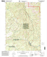
1998 Map of Big Weasel Springs
USGS Topo · Published 2000About this map
Malheur National Forest dominates this section of Grant County, where the high ridges and deep drainages of the Blue Mountains define the landscape. The intricate network of waterways, including Murderers Creek and its many tributaries like South Fork Murderers Creek and Thorn Creek, suggests a geography where water access was primary for early activity. The presence of several historic sites, such as Buck Cabin, Stewart Cabin, and Lemon Cabin, provides a glimpse into the seasonal residency and forest management of the era. High-elevation landmarks like Fields Peak and McClellan Mtn stand as permanent navigational points above the Cedar Grove National Scenic Trail. This late 1990s revision reveals a terrain marked by named springs like Big Weasel Springs and Frankie and Johnny Spring, indicating a land shaped more by natural resources and recreational passage than by permanent town settlement.
Find a feature on this map
45 named features on this map. Tap any name to fly to it.
Don’t see what you’re looking for? This feature index may not catch every label — zoom into the map to look around manually.
Map Details
Editions of this 1998 Big Weasel Springs Map
This is the sole edition of this map. No revisions or reprints were ever made.
Other maps of this area

1940 · Mount Vernon
USGS Topo · 1:62,500

1940 · Aldrich Mtn.
USGS Topo · 1:62,500

1943 · Aldrich Mtn.
USGS Topo · 1:62,500

1943 · Mount Vernon
USGS Topo · 1:62,500

1955 · Canyon City
USGS Topo · 1:250,000

1959 · Canyon City
USGS Topo · 1:250,000

1961 · Logdell
USGS Topo · 1:62,500

1961 · Izee
USGS Topo · 1:62,500

1972 · Big Weasel Sprs
USGS Topo · 1:24,000
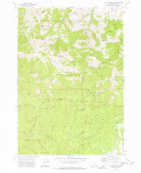
1972 · Mc Clellan Mtn
USGS Topo · 1:24,000