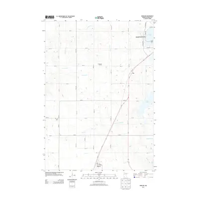
2013 Map of Bigelow
USGS Topo · Published 2013About this map
Worthington anchors the northeastern corner of this Nobles County landscape, where the waters of Okabena Lake meet the rising terrain of the Coteau des Prairies. This highland region, a prominent geological feature of the Midwest, dictates the drainage patterns for the surrounding prairie, feeding the headwaters of the Little Rock River and Otter Cr. The southern edge of the survey is marked by Bigelow, a small settlement situated near the state line, while the rail-and-road corridor of Us-59 and MN-60 connects it north through the hamlet of Org.
Find a feature on this map
28 named features on this map. Tap any name to fly to it.
Don’t see what you’re looking for? This feature index may not catch every label — zoom into the map to look around manually.
Map Details
Editions of this 2013 Bigelow Map
This is the sole edition of this map. No revisions or reprints were ever made.
Other maps of this area

1954 · Fairmont
USGS Topo · 1:250,000

1958 · Fairmont
USGS Topo · 1:250,000

1960 · Reading
USGS Topo · 1:24,000

1960 · Bigelow
USGS Topo · 1:24,000

1960 · Worthington North
USGS Topo · 1:24,000

1960 · Worthington South
USGS Topo · 1:24,000

1967 · Rushmore
USGS Topo · 1:24,000

1967 · Adrian NE
USGS Topo · 1:24,000

1972 · Ocheyedan
USGS Topo · 1:24,000

1972 · Sibley West
USGS Topo · 1:24,000