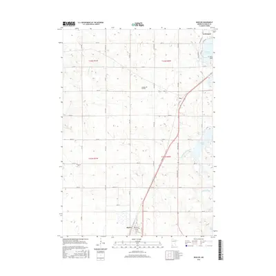
2016 Map of Bigelow
USGS Topo · Published 2016About this map
Worthington and its southern neighboring communities sit upon the distinctive Coteau des Prairies highland, a plateau that shapes the local drainage patterns of the upper Midwest. This 2016 survey highlights a landscape of prairie lakes and emerging headwaters, where Okabena Lake and Ocheda Lake dominate the northern and eastern reaches of the quadrangle. In the south, the settlement of Bigelow serves as a gateway near the state line, while the small community of Org marks a junction point further north.
Find a feature on this map
48 named features on this map. Tap any name to fly to it.
Don’t see what you’re looking for? This feature index may not catch every label — zoom into the map to look around manually.
Map Details
Editions of this 2016 Bigelow Map
This is the sole edition of this map. No revisions or reprints were ever made.
Other maps of this area

1954 · Fairmont
USGS Topo · 1:250,000

1958 · Fairmont
USGS Topo · 1:250,000

1960 · Reading
USGS Topo · 1:24,000

1960 · Bigelow
USGS Topo · 1:24,000

1960 · Worthington North
USGS Topo · 1:24,000

1960 · Worthington South
USGS Topo · 1:24,000

1967 · Rushmore
USGS Topo · 1:24,000

1967 · Adrian NE
USGS Topo · 1:24,000

1972 · Ocheyedan
USGS Topo · 1:24,000

1972 · Sibley West
USGS Topo · 1:24,000