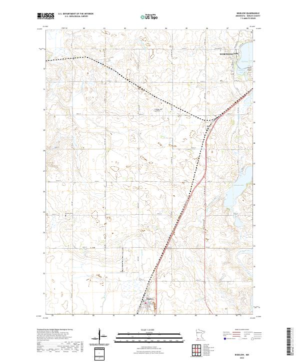
2022 Map of Bigelow
USGS Topo · Published 2022About this map
Coteau des Prairies, a prominent glacial upland, dictates the drainage patterns across this Nobles County landscape. Water flows in diverging directions, with the Little Rock River and Otter Cr. carving south and west, while the Ocheyedan River and the artificial channel of Judicial Ditch Number Ten define the eastern plains. The settlement of Bigelow sits at the southern edge of this grid, while the southern outskirts of Worthington reach toward Okabena Lake and Stony Point in the northeast. This area remains largely defined by its rectilinear section lines and rural infrastructure, punctuated by the small community of Org and the historic Ransom Cem. The presence of numerous lakes and wetlands, including Ocheda Lake, highlights the glaciated prairie-pothole character of the region, where natural hydrology has been significantly modified for agricultural drainage.
Find a feature on this map
47 named features on this map. Tap any name to fly to it.
Don’t see what you’re looking for? This feature index may not catch every label — zoom into the map to look around manually.
Map Details
Editions of this 2022 Bigelow Map
This is the sole edition of this map. No revisions or reprints were ever made.
Other maps of this area

1954 · Fairmont
USGS Topo · 1:250,000

1958 · Fairmont
USGS Topo · 1:250,000

1960 · Reading
USGS Topo · 1:24,000

1960 · Bigelow
USGS Topo · 1:24,000

1960 · Worthington North
USGS Topo · 1:24,000

1960 · Worthington South
USGS Topo · 1:24,000

1967 · Rushmore
USGS Topo · 1:24,000

1967 · Adrian NE
USGS Topo · 1:24,000

1972 · Ocheyedan
USGS Topo · 1:24,000

1972 · Sibley West
USGS Topo · 1:24,000