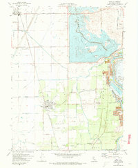
1970 Map of Biggs
USGS Topo · Published 1973About this map
The Thermalito Afterbay dominates the northern landscape of this Butte County region, illustrating the massive water management infrastructure essential to the Sacramento Valley's agricultural economy. This 1970s record shows a highly engineered environment where the Feather River is buffered by the Oroville Wildlife Area and extensive Dredge Tailings, remnants of earlier resource extraction. The towns of Biggs and Richvale are centers of a vast irrigation network, defined by named waterways like the Main Canal, Cherokee Canal, and Hamilton Slough.
Find a feature on this map
73 named features on this map. Tap any name to fly to it.
Don’t see what you’re looking for? This feature index may not catch every label — zoom into the map to look around manually.
Map Details
Editions of this 1970 Biggs Map
2 editions found
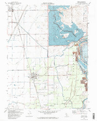
Other maps of this area

1888 · Marysville
USGS Topo · 1:125,000

1891 · Chico
USGS Topo · 1:125,000

1891 · Marysville
USGS Topo · 1:125,000

1893 · Chico
USGS Topo · 1:125,000

1894 · Marysville
USGS Topo · 1:125,000

1895 · Marysville
USGS Topo · 1:125,000

1895 · Chico
USGS Topo · 1:125,000

1911 · Landlow
USGS Topo · 1:31,680

1912 · Dry Creek
USGS Topo · 1:31,680

1912 · Oroville
USGS Topo · 1:31,680