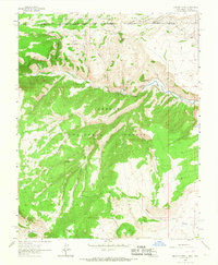
1963 Map of Bighorn Peak
USGS Topo · Published 1967About this map
Denver and Rio Grande Western tracks wind through the high northern reaches of this borderland, where the boundary between Conejos Co and Rio Arriba Co meets the state line of Colorado and New Mexico. The settlement of Sublette serves as a remote point along the rail line, positioned just west of the prominent Bighorn Peak. This high-altitude landscape is defined by deep drainages such as Cañon Atencio and Cañon de Florentino, which carry seasonal water toward the Rio de los Pinos in the north and the Rio Antonio at the southern edge.
Find a feature on this map
27 named features on this map. Tap any name to fly to it.
Don’t see what you’re looking for? This feature index may not catch every label — zoom into the map to look around manually.
Map Details
Editions of this 1963 Bighorn Peak Map
2 editions found
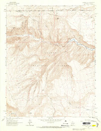
Other maps of this area

1918 · Tusas
USGS Topo · 1:125,000

1922 · Conejos
USGS Topo · 1:125,000

1945 · Durango
USGS Topo · 1:250,000

1953 · Durango
USGS Topo · 1:250,000

1954 · Durango
USGS Topo · 1:250,000

1954 · Aztec
USGS Topo · 1:250,000

1955 · Brazos Peak
USGS Topo · 1:62,500

1958 · Aztec
USGS Topo · 1:250,000

1961 · Durango
USGS Topo · 1:250,000

1962 · Aztec
USGS Topo · 1:250,000