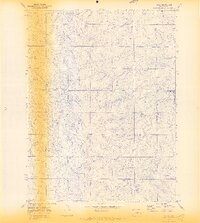
1970 Map of Bijou
USGS Topo · Published 1973About this map
Middle Bijou Creek carves a path through this section of Elbert County, defining a landscape marked by numerous drainage systems such as Station Gulch, Hay Gulch, and Willow Gulch. During the early 1970s, the small settlements of Bijou and Middle served as local points of activity within this cattle-grazing and agricultural region. The map reveals the infrastructure of the era, including a Radio Tower, a Gravel Pit, and a prominent Pipeline cutting across the northern terrain. Genealogy researchers will find value in the location of the Gau Cem, situated near the headwaters of Mule Gulch. The network of unimproved roads and the prominent Ridge Road reflect the rural connectivity of the High Plains before modern expansion altered the footprint of these small Colorado communities.
Find a feature on this map
14 named features on this map. Tap any name to fly to it.
Don’t see what you’re looking for? This feature index may not catch every label — zoom into the map to look around manually.
Map Details
Editions of this 1970 Bijou Map
4 editions found
Other maps of this area

1953 · Denver
USGS Topo · 1:250,000

1957 · Denver
USGS Topo · 1:250,000

1958 · Denver
USGS Topo · 1:250,000

1960 · Denver
USGS Topo · 1:250,000

1968 · Deer Trail
USGS Topo · 1:24,000
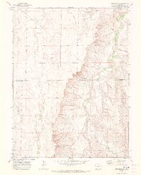
1969 · Strasburg SE
USGS Topo · 1:24,000
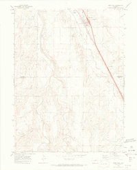
1969 · Deer Trail
USGS Topo · 1:24,000
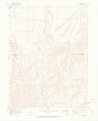
1969 · Byers SW
USGS Topo · 1:24,000
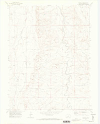
1970 · Kiowa NE
USGS Topo · 1:24,000

1970 · Big Gulch
USGS Topo · 1:24,000