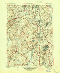
1941 Map of Billerica
USGS Topo · Published 1941About this map
The Concord River meanders northward through the heart of this 1939 survey, serving as the central artery for a landscape defined by its early industrial and institutional development. The industrial character of the era is evident in the infrastructure surrounding North Billerica, where the Middlesex Canal and the Boston and Maine Railroad converge near the Talbot Sch and Water Works. Further south, the landscape shifts toward large-scale public institutions, notably the sprawling U S Veterans Hospital near Bedford Springs and the House of Correction along the riverbanks.
Find a feature on this map
70 named features on this map. Tap any name to fly to it.
Don’t see what you’re looking for? This feature index may not catch every label — zoom into the map to look around manually.
Map Details
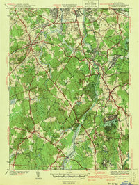
Editions of this 1941 Billerica Map
2 editions found
Other maps of this area

1886 · Lawrence
USGS Topo · 1:62,500

1886 · Lowell
USGS Topo · 1:62,500

1886 · Framingham
USGS Topo · 1:62,500

1888 · Lawrence
USGS Topo · 1:62,500

1889 · Framingham
USGS Topo · 1:62,500

1893 · Lowell
USGS Topo · 1:62,500

1893 · Boston
USGS Topo · 1:62,500

1893 · Lawrence
USGS Topo · 1:62,500

1894 · Framingham
USGS Topo · 1:62,500

1903 · Boston
USGS Topo · 1:62,500