2021 Map of Billings
USGS Topo · Published 2021About this map
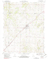
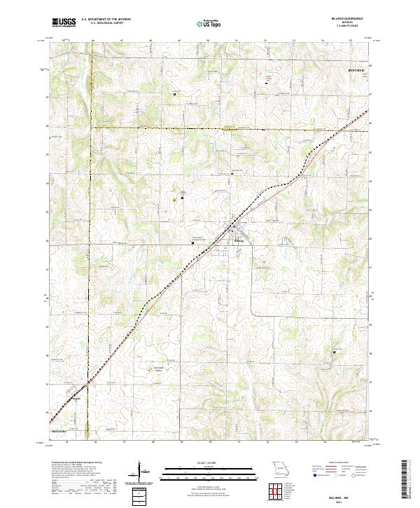
The town of Billings sits at a geographic crossroads in southwest Missouri, where the boundaries of Lawrence, Greene, and Christian counties converge. This landscape is defined by the winding paths of several waterways, including Pickerel Cr to the north and the upper reaches of Turnback Cr and Terrell Cr to the south. The area is notable for its high density of small, family-linked and denominational burial grounds, such as Blades Chapel Cem near Hagewood Lake and Saint Joseph's Cem. These sites, along with the settlement at Logan, suggest a long history of established rural communities that developed along the ridge lines and creek valleys like McCullah Hollow. The survey captures the transition from these historic settlements toward the growing edges of Republic and the northern outskirts of Marionville.
Find a feature on this map
108 named features on this map. Tap any name to fly to it.
Don’t see what you’re looking for? This feature index may not catch every label — zoom into the map to look around manually.
Map Details
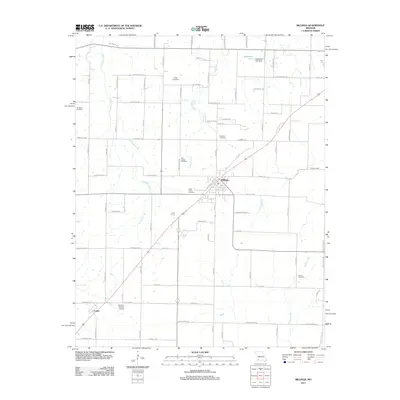
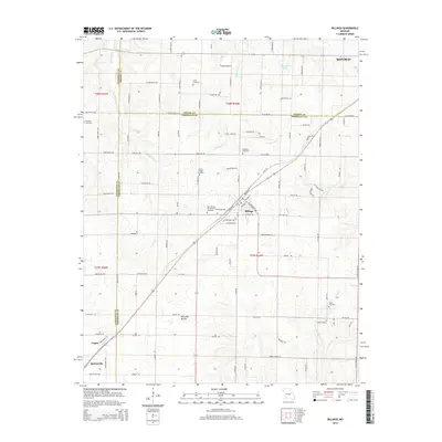
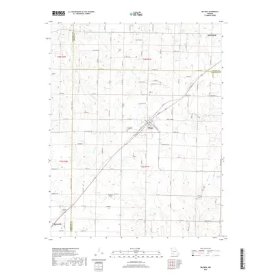
Editions of this 2021 Billings Map
This is the sole edition of this map. No revisions or reprints were ever made.
Historical Maps of Republic Through Time
5 maps found