
1935 Map of Billingsley Gap
USGS Topo · Published 1935About this map
The dramatic transition from the Cumberland Plateau to the Sequatchie Valley defines this mid-1930s landscape in Bledsoe County. Steep bluffs and high-elevation gaps provide natural passages through the terrain, with Billingsley Gap, Shoemate Gap, and Rankins Gap serving as critical transit points for early roads. The mapping of the Alvin C York Highway and State Highway No 30 illustrates the developing infrastructure of the era, winding through numerous coves like Ann Cove and Lucy Cove. Local industry and community life are anchored by the presence of Emery Mill and Cooper Mill, while the Iron Hill Cem and Mt Zion Sch mark established rural social centers. The Sequatchie River meanders along the valley floor, passing through a landscape dotted with family-named landmarks like Raven Rock and the Smyrna Ch.
Find a feature on this map
25 named features on this map. Tap any name to fly to it.
Don’t see what you’re looking for? This feature index may not catch every label — zoom into the map to look around manually.
Map Details
Editions of this 1935 Billingsley Gap Map
This is the sole edition of this map. No revisions or reprints were ever made.
Other maps of this area

1892 · Pikeville
USGS Topo · 1:125,000

1895 · Pikeville
USGS Topo · 1:125,000

1909 · Sequatchie Valley
USGS Topo · 1:62,500

1910 · Pikeville
USGS Topo · 1:62,500

1912 · Crossville
USGS Topo · 1:62,500

1935 · Melvine
USGS Topo · 1:24,000

1935 · Morgan Springs
USGS Topo · 1:24,000

1935 · Brockdell
USGS Topo · 1:24,000
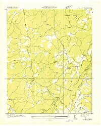
1935 · Vandever
USGS Topo · 1:24,000
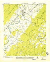
1935 · Pikeville
USGS Topo · 1:24,000