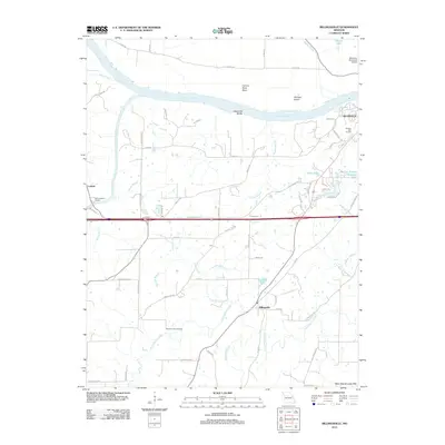
2011 Map of Billingsville
USGS Topo · Published 2011About this map
Boonville anchors the northeastern corner of this Missouri landscape, situated along the complex curves of the Boonville Bends on the Missouri River. The river's influence is evident in the nearby Lamine River Bend and Gardner Island, marking a geography shaped by water and the West Central Loess Hills. Moving south, the terrain transitions into an agricultural and residential matrix defined by the small settlements of Billingsville, Lamine, and Lick.
Find a feature on this map
75 named features on this map. Tap any name to fly to it.
Don’t see what you’re looking for? This feature index may not catch every label — zoom into the map to look around manually.
Map Details
Editions of this 2011 Billingsville Map
This is the sole edition of this map. No revisions or reprints were ever made.
Other maps of this area

1888 · Boonville
USGS Topo · 1:125,000

1890 · Glasgow
USGS Topo · 1:125,000

1947 · Glasgow
USGS Topo · 1:62,500

1947 · Jefferson City
USGS Topo · 1:250,000

1952 · Boonville
USGS Topo · 1:24,000

1952 · New Franklin
USGS Topo · 1:24,000

1952 · Lone Elm
USGS Topo · 1:24,000

1953 · Moberly
USGS Topo · 1:250,000

1953 · Billingsville
USGS Topo · 1:24,000

1953 · Pilot Grove North
USGS Topo · 1:24,000