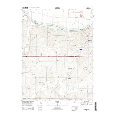
2015 Map of Billingsville
USGS Topo · Published 2015About this map
The Missouri River carves a winding path along the northern edge of this Cooper County landscape, featuring notable curves like Slaughterhouse Bend and the Boonville Bends. Near the confluence where the Lamine River meets the Missouri, the small settlement of Lamine serves as a western anchor, while the larger center of Boonville dominates the eastern hills. This 2015 survey reflects a mix of modern infrastructure and long-standing local landmarks, including the recreational Katy Trl following the riverbank and the industrial developments along Radio Hill Rd.
Find a feature on this map
83 named features on this map. Tap any name to fly to it.
Don’t see what you’re looking for? This feature index may not catch every label — zoom into the map to look around manually.
Map Details
Editions of this 2015 Billingsville Map
This is the sole edition of this map. No revisions or reprints were ever made.
Other maps of this area
1888 · Boonville
USGS Topo · 1:125,000
1890 · Glasgow
USGS Topo · 1:125,000
1947 · Glasgow
USGS Topo · 1:62,500
1947 · Jefferson City
USGS Topo · 1:250,000
1952 · Boonville
USGS Topo · 1:24,000
1952 · New Franklin
USGS Topo · 1:24,000
1952 · Lone Elm
USGS Topo · 1:24,000
1953 · Moberly
USGS Topo · 1:250,000
1953 · Billingsville
USGS Topo · 1:24,000
1953 · Pilot Grove North
USGS Topo · 1:24,000