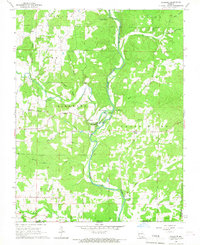
1966 Map of Billmore
USGS Topo · Published 1967About this map
The Eleven Point River carves a deep path through the southern Missouri hills, creating a landscape defined by sharp bluffs and an abundance of natural springs. This mid-1960s survey reveals a rural network where small settlements like Billmore and Calm serve as local anchors. The area is notable for its numerous water sources, including Sibkey Spring, Blue Spring, and Morgan Spring, which feed into the river system.
Find a feature on this map
46 named features on this map. Tap any name to fly to it.
Don’t see what you’re looking for? This feature index may not catch every label — zoom into the map to look around manually.
Map Details
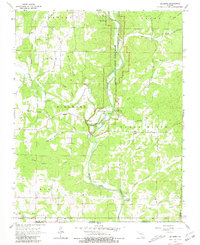
Editions of this 1966 Billmore Map
2 editions found
Other maps of this area

1941 · Gatewood
USGS Topo · 1:62,500

1944 · Couch
USGS Topo · 1:62,500

1945 · Gatewood
USGS Topo · 1:62,500

1946 · Couch
USGS Topo · 1:62,500

1957 · Poplar Bluff
USGS Topo · 1:250,000

1959 · Poplar Bluff
USGS Topo · 1:250,000

1960 · Poplar Bluff
USGS Topo · 1:250,000
1965 · Riverton
USGS Topo · 1:24,000

1965 · Gatewood
USGS Topo · 1:24,000
1965 · Bardley
USGS Topo · 1:24,000