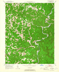
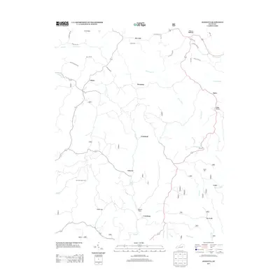
1952 Map of Billows
USGS Topo · Published 1966About this map
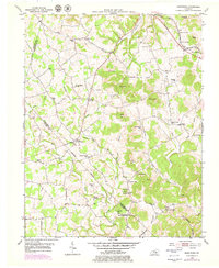
The Rockcastle River snakes through the heart of the Cumberland National Forest, carving a deep path between the borders of Rockcastle, Laurel, and Pulaski counties. This 1952 field survey reveals a landscape of isolated ridges and hollows where small settlements like Billows and Squib served as local hubs. The terrain is marked by a network of rural schools, including Buffalo Sch, Whitaker Sch, and Bullock Sch, which illustrate the decentralized nature of education in these highland communities during the mid-twentieth century. Near the river, the Indian Trail Lookout Tower stands as a sentinel over the heavily wooded slopes.
Find a feature on this map
54 named features on this map. Tap any name to fly to it.
Don’t see what you’re looking for? This feature index may not catch every label — zoom into the map to look around manually.
Map Details
Editions of this 1952 Billows Map
3 editions found
Historical Maps of Luner Through Time
26 maps found
1952 Billows
Rockcastle County, KY
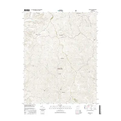
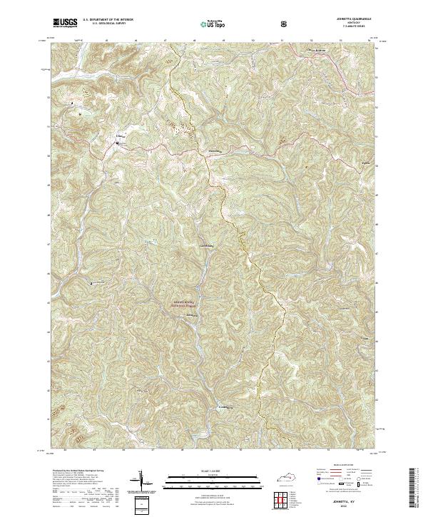
1953 Johnetta
Rockcastle County, KY
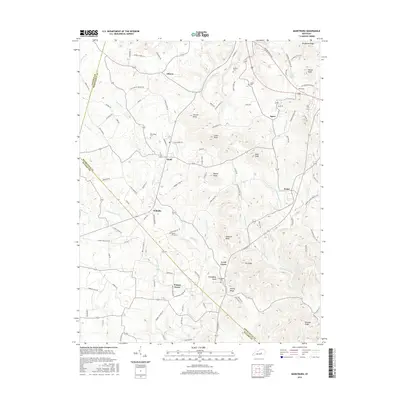
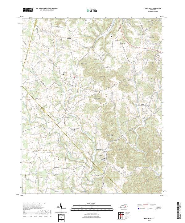
1953 Maretburg
Rockcastle County, KY
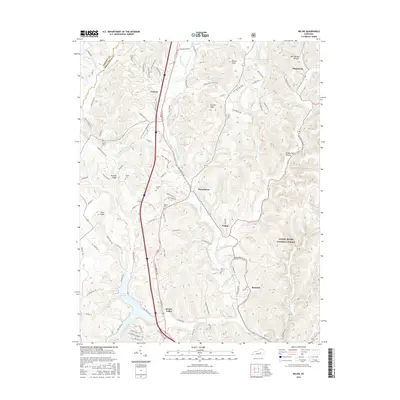
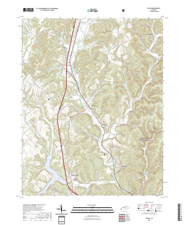
1953 Wildie
Rockcastle County, KY
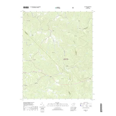
1970 Wildie
Rockcastle County, KY
1993 Maretburg
Rockcastle County, KY
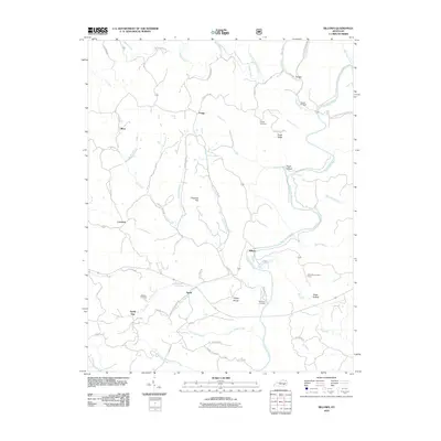
2010 Billows
Rockcastle County, KY
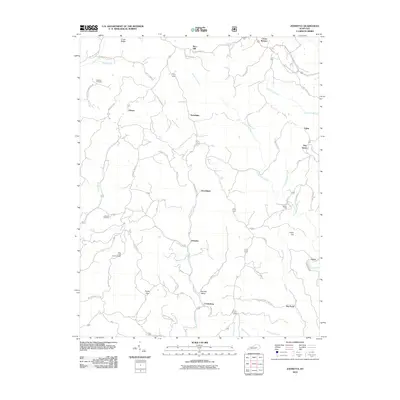
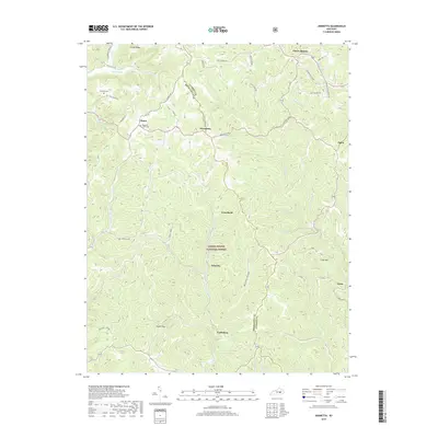
2010 Johnetta
Rockcastle County, KY
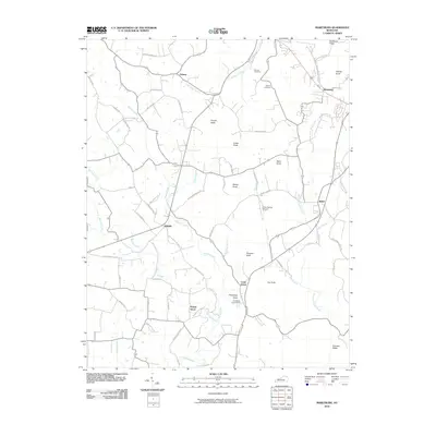
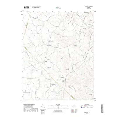
2010 Maretburg
Rockcastle County, KY
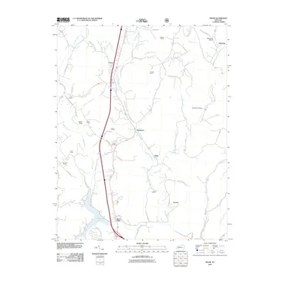
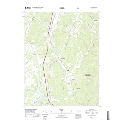
2010 Wildie
Rockcastle County, KY

2013 Billows
Rockcastle County, KY
2013 Johnetta
Rockcastle County, KY
2013 Maretburg
Rockcastle County, KY
2013 Wildie
Rockcastle County, KY
2016 Billows
Rockcastle County, KY
2016 Johnetta
Rockcastle County, KY
2016 Maretburg
Rockcastle County, KY
2016 Wildie
Rockcastle County, KY
2019 Billows
Rockcastle County, KY
2019 Johnetta
Rockcastle County, KY
2019 Maretburg
Rockcastle County, KY
2019 Wildie
Rockcastle County, KY

2022 Billows
Rockcastle County, KY
2022 Johnetta
Rockcastle County, KY
2022 Maretburg
Rockcastle County, KY
2022 Wildie
Rockcastle County, KY