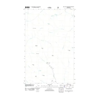
2011 Map of Billy Goat Mountain
USGS Topo · Published 2011About this map
Billy Goat Mountain and the surrounding high country define this portion of the North Cascades, where the terrain is marked by a complex network of passes and peaks. The map details a landscape carved by Eightmile Creek and Drake Creek, showing how travel in this era relied on the established Billy Goat Trailhead and the Nat For Dev Rd 5130. Notable geographic features such as Three Fools Pass and Eightmile Pass indicate the historical routes through these mountains. Remote high-altitude water bodies including Upper Fox Lake, Lower Fox Lake, and the uniquely named No Dice Lake are preserved here, alongside landmarks of local backcountry utility like the Billy Goat Corral. This topographic study provides a clear view of the wilderness before later modern developments, focused on the granite heights of Big Craggy Peak and West Craggy.
Find a feature on this map
33 named features on this map. Tap any name to fly to it.
Don’t see what you’re looking for? This feature index may not catch every label — zoom into the map to look around manually.
Map Details
Editions of this 2011 Billy Goat Mountain Map
This is the sole edition of this map. No revisions or reprints were ever made.
Other maps of this area

1955 · Concrete
USGS Topo · 1:250,000

1958 · Concrete
USGS Topo · 1:250,000

1962 · Concrete
USGS Topo · 1:250,000
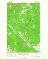
1962 · Mazama
USGS Topo · 1:62,500
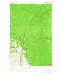
1963 · Doe Mountain
USGS Topo · 1:62,500
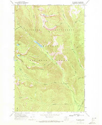
1969 · Mt. Barney
USGS Topo · 1:24,000
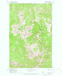
1969 · Lost Peak
USGS Topo · 1:24,000
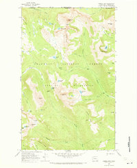
1969 · Remmel Mtn.
USGS Topo · 1:24,000
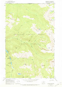
1969 · Ashnola Mtn
USGS Topo · 1:24,000
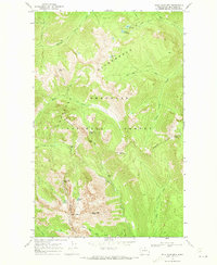
1969 · Billy Goat Mtn
USGS Topo · 1:24,000