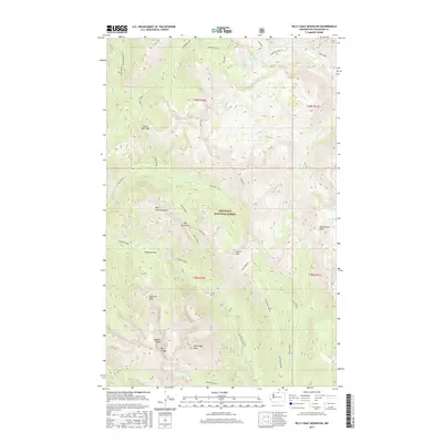
2017 Map of Billy Goat Mountain
USGS Topo · Published 2017About this map
Okanogan National Forest dominates this high-elevation landscape, defined by a complex network of ridges and glacial basins. The topographic survey centers on the namesake Billy Goat Mountain and the prominent Big Craggy Peak, illustrating a terrain where passage is restricted to established corridors such as Eightmile Pass and Three Fools Pass. A high-altitude drainage system is visible, with Upper Fox Lake and Lower Fox Lake feeding into Fox Creek, while numerous smaller basins like No Dice Lake and Fool Hen Lake dot the subalpine environment. Historical land use in the region is reflected in nomenclature such as Copper Glance Creek, suggesting the presence of early prospecting and mineral exploration. The map also delineates the Eightmile trail and Forest Development Road 5130, which provide the primary access into these back-country reaches within the Cascade Range.
Find a feature on this map
46 named features on this map. Tap any name to fly to it.
Don’t see what you’re looking for? This feature index may not catch every label — zoom into the map to look around manually.
Map Details
Editions of this 2017 Billy Goat Mountain Map
This is the sole edition of this map. No revisions or reprints were ever made.
Other maps of this area

1955 · Concrete
USGS Topo · 1:250,000

1958 · Concrete
USGS Topo · 1:250,000

1962 · Concrete
USGS Topo · 1:250,000
1962 · Mazama
USGS Topo · 1:62,500
1963 · Doe Mountain
USGS Topo · 1:62,500
1969 · Mt. Barney
USGS Topo · 1:24,000
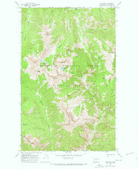
1969 · Lost Peak
USGS Topo · 1:24,000
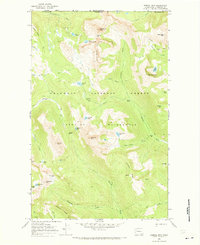
1969 · Remmel Mtn.
USGS Topo · 1:24,000
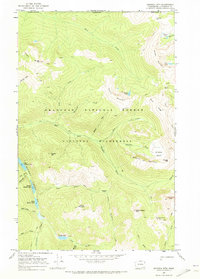
1969 · Ashnola Mtn
USGS Topo · 1:24,000
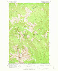
1969 · Billy Goat Mtn
USGS Topo · 1:24,000