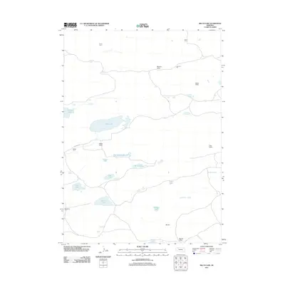
2011 Map of Billys Lake
USGS Topo · Published 2011About this map
The Nebraska Sandhills define this landscape, characterized by a complex network of wetlands and cattle ranching operations in Cherry County. Notable family-owned holdings such as Sandoz Ranch and Strasburger Ranch are positioned among the dunes, illustrating the enduring legacy of high-plains agriculture in the region. The map reveals an intricate hydrography of shallow lakes including Billys Lake, Clear Lake, and Osborne Lake, many of which sit within named topographic depressions like Willow Valley and Brighton Valley. Drainage is provided by Gordon Creek, which meanders through the eastern portion of the terrain. The presence of Big Hill and Big Hill Valley in the south provides a focal point for understanding the local relief. Travel through this remote area is marked by unpaved routes such as Ostrander Rd, connecting scattered outposts like Dorsey Ranch and Piper Ranch.
Find a feature on this map
24 named features on this map. Tap any name to fly to it.
Don’t see what you’re looking for? This feature index may not catch every label — zoom into the map to look around manually.
Map Details
Editions of this 2011 Billys Lake Map
This is the sole edition of this map. No revisions or reprints were ever made.
Other maps of this area

1948 · Spade Ranch
USGS Topo · 1:62,500

1949 · Turpin Lake
USGS Topo · 1:62,500

1950 · Spade Ranch
USGS Topo · 1:62,500

1951 · Gypsy Valley
USGS Topo · 1:62,500

1951 · Turpin Lake
USGS Topo · 1:62,500

1955 · Alliance
USGS Topo · 1:250,000

1957 · Alliance
USGS Topo · 1:250,000

1957 · Valentine
USGS Topo · 1:250,000

1958 · Alliance
USGS Topo · 1:250,000

1959 · Valentine
USGS Topo · 1:250,000