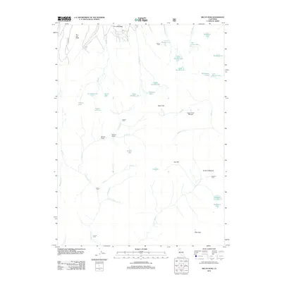
2012 Map of Billys Peak
USGS Topo · Published 2012About this map
Wolford Cabin and Hodges Cabin sit within a high-elevation landscape defined by the drainage networks of the Trinity Alps. This early 21st-century survey documents a wilderness area where human activity is marked primarily by isolated cabins and historical landmarks like Francis Cabin and Stoddard Cabin. The terrain is characterized by dramatic glaciated features, including the Eagle Creek Benches and the high summits of Eagle Peak and Billys Peak. Numerous alpine water bodies are concentrated in the northern half of the quadrangle, such as Telephone Lake, Mavis Lake, and the series of Boulder Lakes. The presence of Stoddard Meadow and Doe Flat indicates more level grazing or resting grounds amidst the steep ridges of Blue Jay Ridge and Fox Creek Ridge.
Find a feature on this map
51 named features on this map. Tap any name to fly to it.
Don’t see what you’re looking for? This feature index may not catch every label — zoom into the map to look around manually.
Map Details
Editions of this 2012 Billys Peak Map
This is the sole edition of this map. No revisions or reprints were ever made.
Other maps of this area
1886 · Shasta
USGS Topo · 1:250,000
1894 · Shasta
USGS Topo · 1:250,000
1923 · Sawyers Bar
USGS Topo · 1:125,000
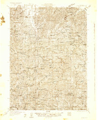
1931 · Etna
USGS Topo · 1:96,000
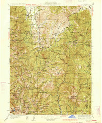
1934 · Etna
USGS Topo · 1:125,000
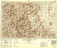
1948 · Weed
USGS Topo · 1:250,000
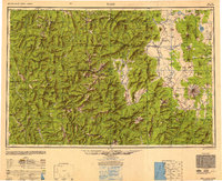
1950 · Weed
USGS Topo · 1:250,000
1955 · Bonanza King
USGS Topo · 1:62,500
1955 · China Mountain
USGS Topo · 1:62,500
1955 · Etna
USGS Topo · 1:62,500