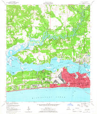
1954 Map of Biloxi
USGS Topo · Published 1966About this map
Keesler Air Force Base dominates the eastern shoreline of the Back Bay of Biloxi in this mid-century survey, illustrating the significant military and institutional presence that shaped the coast during the early Cold War era. To the west, the Veterans Administration Center and the Southern Memorial Park sit near the gulf, while the historic Beauvoir estate remains a prominent landmark along the shore. The industrial and transit pulse of the region is centered on the Louisville and Nashville railroad line and the concentrated urban grid of Biloxi, featuring Central High Sch and the Lighthouse.
Find a feature on this map
75 named features on this map. Tap any name to fly to it.
Don’t see what you’re looking for? This feature index may not catch every label — zoom into the map to look around manually.
Map Details
Editions of this 1954 Biloxi Map
5 editions found
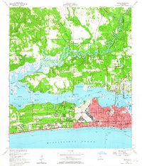
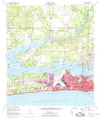
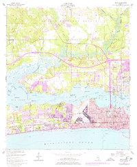
Other maps of this area

1953 · Mobile
USGS Topo · 1:250,000

1954 · Vestry
USGS Topo · 1:62,500

1954 · McHenry
USGS Topo · 1:62,500

1954 · Gulfport North
USGS Topo · 1:24,000

1954 · Gulfport South
USGS Topo · 1:24,000

1954 · Ocean Springs
USGS Topo · 1:24,000

1954 · Biloxi
USGS Topo · 1:24,000

1954 · Deer Island
USGS Topo · 1:24,000

1954 · Biloxi
USGS Topo · 1:62,500

1957 · Mobile
USGS Topo · 1:250,000