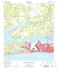
1954 Map of Biloxi
USGS Topo · Published 1971About this map
The Mississippi Gulf Coast at the dawn of the 1950s reveals a region shaped by maritime geography and significant federal investment. Keesler Air Force Base dominates the eastern peninsula, while the Veterans Administration Center and the historic Beauvoir estate line the southern shore. The map illustrates the complex waterway system of the Back Bay of Biloxi, where the Tchoutacabouffa River and Biloxi River converge. Urban expansion is noted through purple revisions, showing the growth of D'Iberville and residential developments like Edgewater Park. Transportation relies on the Louisville and Nashville railroad and the Pops Ferry Bridge, which connect the mainland to the coastal strips. Small interior settlements such as Wool Market and St Martin provide a look at the rural character of the piney woods bordering the De Soto National Forest.
Find a feature on this map
68 named features on this map. Tap any name to fly to it.
Don’t see what you’re looking for? This feature index may not catch every label — zoom into the map to look around manually.
Map Details
Editions of this 1954 Biloxi Map
5 editions found
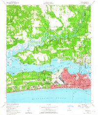
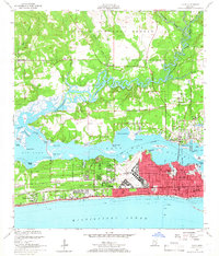
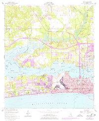
Other maps of this area

1953 · Mobile
USGS Topo · 1:250,000

1954 · Vestry
USGS Topo · 1:62,500

1954 · McHenry
USGS Topo · 1:62,500

1954 · Gulfport North
USGS Topo · 1:24,000

1954 · Gulfport South
USGS Topo · 1:24,000

1954 · Ocean Springs
USGS Topo · 1:24,000

1954 · Biloxi
USGS Topo · 1:24,000

1954 · Deer Island
USGS Topo · 1:24,000

1954 · Biloxi
USGS Topo · 1:62,500

1957 · Mobile
USGS Topo · 1:250,000