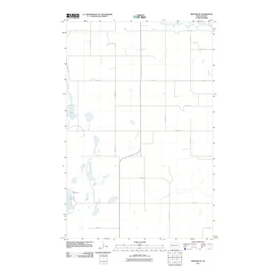
2011 Map of Binford NE
USGS Topo · Published 2011About this map
Red Willow Lake and the nearby Red Willow Camp serve as a focal point in this portion of Nelson County, where the prairie landscape is punctuated by numerous small glacial potholes and wetlands. The Sheyenne River winds through the northern section of the map, carving a distinct valley through the surrounding agricultural sections. The map reveals a highly structured township-and-range road network, with numbered thoroughfares such as 106th Ave NE and 21st St NE defining the rural grid. This late-stage topographic survey highlights the enduring rural character of the region, where access to water bodies like Mannie Lake remains a defining geographic feature for local land use and recreation.
Find a feature on this map
21 named features on this map. Tap any name to fly to it.
Don’t see what you’re looking for? This feature index may not catch every label — zoom into the map to look around manually.
Map Details
Editions of this 2011 Binford NE Map
This is the sole edition of this map. No revisions or reprints were ever made.
Other maps of this area

1930 · Pekin
USGS Topo · 1:62,500

1942 · McVille
USGS Topo · 1:62,500

1951 · Tolna
USGS Topo · 1:24,000

1951 · Pekin
USGS Topo · 1:24,000

1951 · Pekin
USGS Topo · 1:62,500

1952 · New Rockford
USGS Topo · 1:250,000

1956 · New Rockford
USGS Topo · 1:250,000

1961 · Kloten NW
USGS Topo · 1:24,000

1961 · Binford
USGS Topo · 1:24,000

1961 · Jessie
USGS Topo · 1:24,000