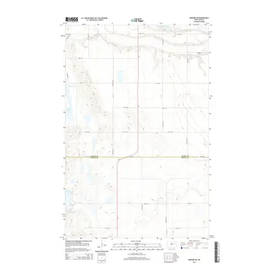
2014 Map of Binford NE
USGS Topo · Published 2014About this map
The Sheyenne River cuts through the northern reaches of this landscape, carving a distinct valley into the prairie terrain. This 2014 survey documents the agricultural heartland where the Nelson Co and Griggs Co borders meet. The map reveals a highly structured grid of section lines and rural roads, such as 18th St NE and 105th Ave NE, that organize the vast open country between water bodies.
Find a feature on this map
21 named features on this map. Tap any name to fly to it.
Don’t see what you’re looking for? This feature index may not catch every label — zoom into the map to look around manually.
Map Details
Editions of this 2014 Binford NE Map
This is the sole edition of this map. No revisions or reprints were ever made.
Other maps of this area
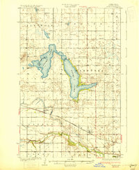
1930 · Pekin
USGS Topo · 1:62,500
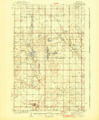
1942 · McVille
USGS Topo · 1:62,500
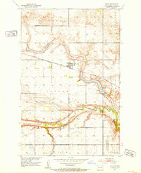
1951 · Tolna
USGS Topo · 1:24,000
1951 · Pekin
USGS Topo · 1:24,000
1951 · Pekin
USGS Topo · 1:62,500
1952 · New Rockford
USGS Topo · 1:250,000
1956 · New Rockford
USGS Topo · 1:250,000
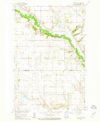
1961 · Kloten NW
USGS Topo · 1:24,000
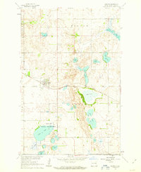
1961 · Binford
USGS Topo · 1:24,000
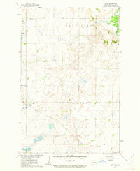
1961 · Jessie
USGS Topo · 1:24,000