2024 Map of Binford NE
USGS Topo · Published 2024About this map
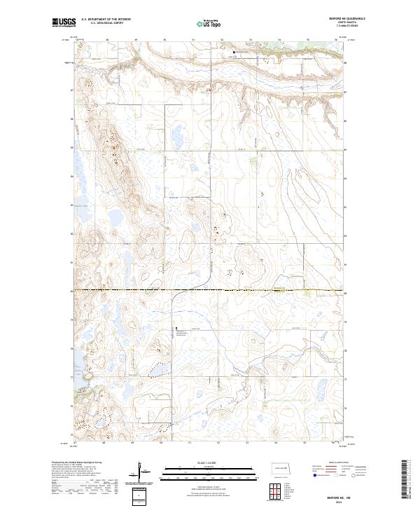
The Bethlehem Lutheran Free Church Cem serves as a central landmark for this North Dakota prairie landscape along the border of Nelson and Griggs Counties. The area is defined by its extensive wetland conservation efforts, specifically within the Nelson County Waterfowl Production Area and the Griggs County Waterfowl Production Area. These designated zones, alongside bodies of water like Mannie Lake and Red Willow Lake, highlight a terrain dominated by glacial potholes and managed prairie habitats. A rigid section-line road grid, including 17th St NE and Co Rd 18, organizes the rural landscape, connecting isolated homesteads and local sites like the Sheyenne Cem in the north. This 2024 survey documents a region where agricultural land use is carefully balanced with significant waterfowl habitat protection.
Find a feature on this map
23 named features on this map. Tap any name to fly to it.
Don’t see what you’re looking for? This feature index may not catch every label — zoom into the map to look around manually.
Map Details
Editions of this 2024 Binford NE Map
This is the sole edition of this map. No revisions or reprints were ever made.
Other maps of this area

1930 · Pekin
USGS Topo · 1:62,500

1942 · McVille
USGS Topo · 1:62,500

1951 · Tolna
USGS Topo · 1:24,000

1951 · Pekin
USGS Topo · 1:24,000

1951 · Pekin
USGS Topo · 1:62,500

1952 · New Rockford
USGS Topo · 1:250,000

1956 · New Rockford
USGS Topo · 1:250,000

1961 · Kloten NW
USGS Topo · 1:24,000

1961 · Binford
USGS Topo · 1:24,000

1961 · Jessie
USGS Topo · 1:24,000