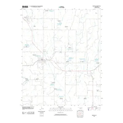
2010 Map of Binger
USGS Topo · Published 2010About this map
Binger and Lookeba serve as the primary hubs in this central Oklahoma landscape, defined by a complex network of agricultural water management and distinct geological breaks. The terrain is notably marked by deep incisions such as Devils Canyon and Horseshoe Canyon, providing significant topographic relief against the surrounding plains. The drainage system is heavily modified, with Sugar Creek and its many tributaries, including Medicine Creek and Kickapoo Creek, supporting an extensive series of reservoirs and dams. These features, ranging from Sugar Creek Site 21 Reservoir to the south-lying Sugar Creek Site 42 Reservoir, reveal the critical importance of flood control and water storage for the local farming economy. Researchers can also locate long-established sites like Binger Cemetery and Scott Cemetery, which anchor the local genealogical record.
Find a feature on this map
54 named features on this map. Tap any name to fly to it.
Don’t see what you’re looking for? This feature index may not catch every label — zoom into the map to look around manually.
Map Details
Editions of this 2010 Binger Map
This is the sole edition of this map. No revisions or reprints were ever made.
Other maps of this area

1893 · Buggy Creek
USGS Topo · 1:62,500

1945 · Anadarko
USGS Topo · 1:62,500

1951 · Binger
USGS Topo · 1:62,500

1951 · Fort Cobb
USGS Topo · 1:62,500

1955 · Clinton
USGS Topo · 1:250,000

1957 · Clinton
USGS Topo · 1:250,000
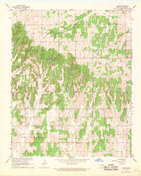
1967 · Cogar
USGS Topo · 1:24,000
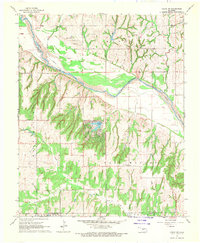
1967 · Cogar NW
USGS Topo · 1:24,000
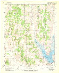
1968 · Anadarko NW
USGS Topo · 1:24,000

1979 · Hinton
USGS Topo · 1:24,000