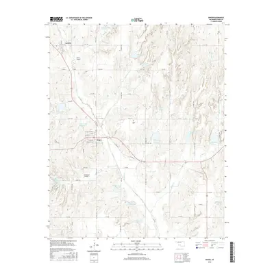
2016 Map of Binger
USGS Topo · Published 2016About this map
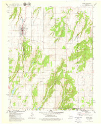
Binger and Lookeba serve as the primary hubs in this Caddo County landscape, which is defined by an extensive water management system. The map reveals a high density of man-made reservoirs along the Sugar Cr drainage, including Sugar Creek Site 23 Reservoir and Sugar Cr Site 24 Reservoir. This network of small dams and basins illustrates the region's intensive effort to control runoff and support agriculture across the undulating plains.
Find a feature on this map
72 named features on this map. Tap any name to fly to it.
Don’t see what you’re looking for? This feature index may not catch every label — zoom into the map to look around manually.
Map Details
Editions of this 2016 Binger Map
This is the sole edition of this map. No revisions or reprints were ever made.
Other maps of this area
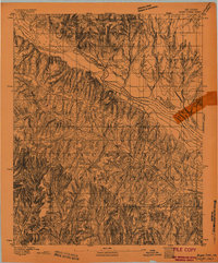
1893 · Buggy Creek
USGS Topo · 1:62,500
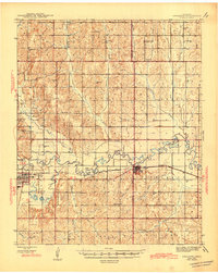
1945 · Anadarko
USGS Topo · 1:62,500
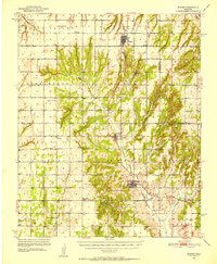
1951 · Binger
USGS Topo · 1:62,500
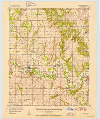
1951 · Fort Cobb
USGS Topo · 1:62,500

1955 · Clinton
USGS Topo · 1:250,000

1957 · Clinton
USGS Topo · 1:250,000
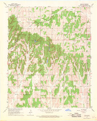
1967 · Cogar
USGS Topo · 1:24,000
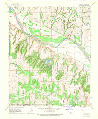
1967 · Cogar NW
USGS Topo · 1:24,000
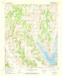
1968 · Anadarko NW
USGS Topo · 1:24,000
1979 · Hinton
USGS Topo · 1:24,000