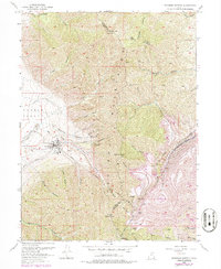
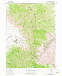
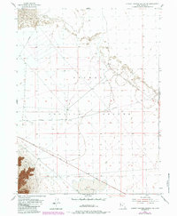
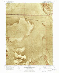
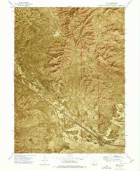
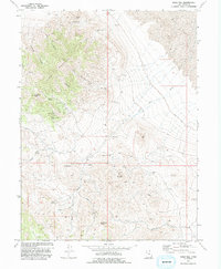
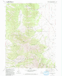
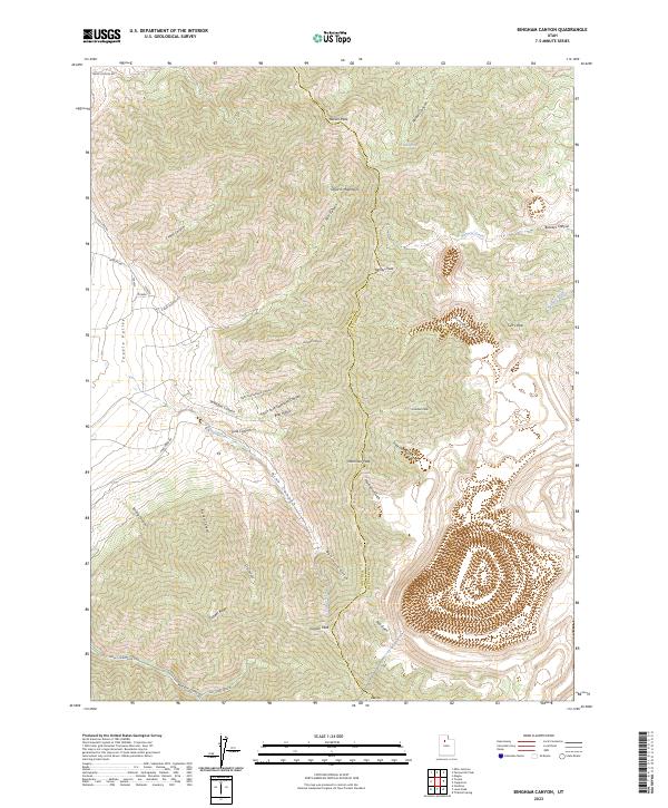
1952 Map of Bingham Canyon
USGS Topo · Published 1987About this map
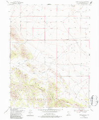
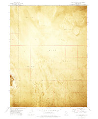
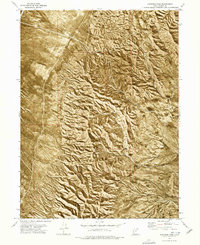
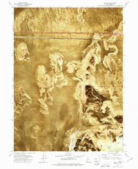
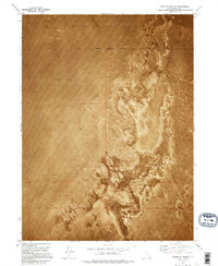
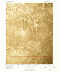
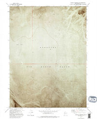
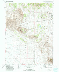
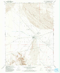
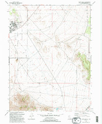
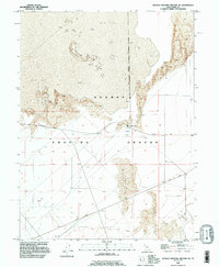
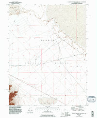
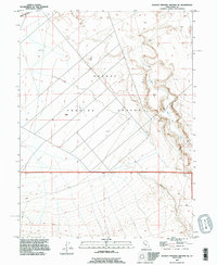
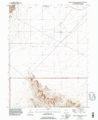
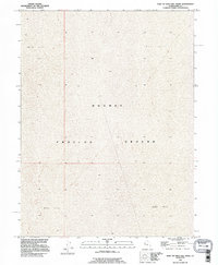
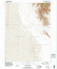
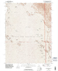
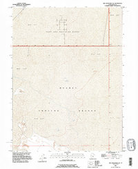
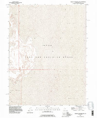
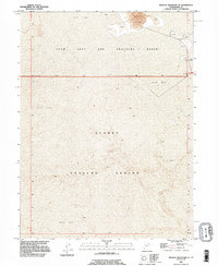
The Copper Pit Mine dominates the southeastern quadrant of this map, illustrating the immense scale of industrial excavation in the Oquirrh Mountains. Surrounding the pit, massive Waste Dumps terrace the landscape, reshaping the natural contours of Bingham Canyon. To the west, the settlement of International is situated near the Smelter, connected to the valley floor by the Tooele Valley Dike. This 1950s survey captures the region during a period of intense extraction, where rail lines like the Bingham Canyon and Camp Forte Branch Denver and Rio Grande Western were essential for moving ore and materials. High peaks such as Nelson Peak and Clipper Peak provide a dramatic contrast to the deep industrial scars, while various subterranean features like the Apex Shaft, Armstrong Tunnel, and Highland Tunnel mark the intensity of underground operations.
Find a feature on this map
47 named features on this map. Tap any name to fly to it.
Don’t see what you’re looking for? This feature index may not catch every label — zoom into the map to look around manually.
Map Details
Editions of this 1952 Bingham Canyon Map
5 editions found
Historical Maps of Salt Lake County Through Time
320 maps found

1885 Tooele Valley
Tooele County, UT
1925 Gold Hill
Tooele County, UT

1928 Gold Hill
Tooele County, UT

1947 Boulter Peak
Tooele County, UT

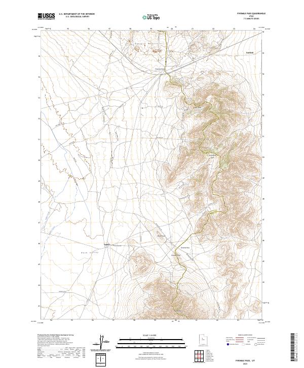
1949 Fivemile Pass
Tooele County, UT
1952 Bingham Canyon
Tooele County, UT

1953 Dugway Range NE
Tooele County, UT

1953 Dugway Range NW
Tooele County, UT
1954 Camels Back Ridge NW
Tooele County, UT
1954 Dugway Proving Ground NE
Tooele County, UT
1954 Dugway Proving Ground NW
Tooele County, UT

1954 Dugway Proving Ground SE
Tooele County, UT
1954 Dugway Proving Ground SW
Tooele County, UT
1954 Granite Peak SE
Tooele County, UT
1954 Granite Peak
Tooele County, UT
1954 Wig Mtn NW
Tooele County, UT

1954 Wig Mtn SW
Tooele County, UT
1954 Wildcat Mountain SE
Tooele County, UT
1954 Wildcat Mountain
Tooele County, UT

1955 Burmester
Tooele County, UT
1955 Camels Back Ridge NE
Tooele County, UT
1955 Camels Back Ridge SW
Tooele County, UT

1955 Coyote Springs
Tooele County, UT
1955 Davis Knolls
Tooele County, UT

1955 Deseret Peak
Tooele County, UT

1955 Indian Peaks
Tooele County, UT
1955 Indian Springs
Tooele County, UT

1955 Mills Junction
Tooele County, UT
1955 Simpson Springs
Tooele County, UT
1955 Tabbys Peak SE
Tooele County, UT
1955 Tabbys Peak SW
Tooele County, UT
1955 Tabbys Peak
Tooele County, UT

1955 Table Mountain
Tooele County, UT

1955 Timpie
Tooele County, UT

1955 Wig Mtn NE
Tooele County, UT

1955 Wig Mtn
Tooele County, UT
1963 Dutch Peak
Tooele County, UT
1963 Sabie Mountain
Tooele County, UT
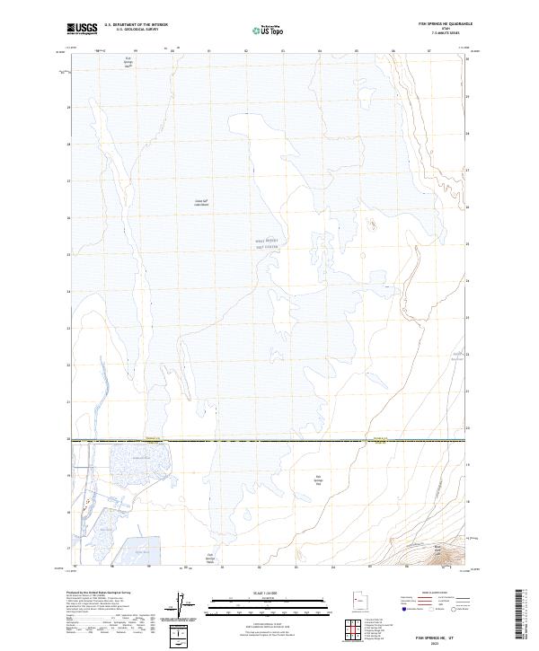
1967 Fish Springs NE
Tooele County, UT
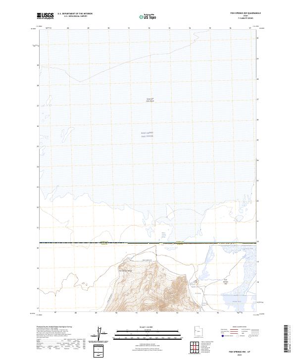
1967 Fish Springs NW
Tooele County, UT

1968 Badger Island NW
Tooele County, UT

1968 Badger Island
Tooele County, UT

1968 Corral Canyon
Tooele County, UT

1968 Craner Peak
Tooele County, UT

1968 Lowe Peak
Tooele County, UT

1968 Plug Peak NW
Tooele County, UT

1968 Plug Peak SE
Tooele County, UT
1968 Plug Peak
Tooele County, UT

1968 Poverty Point
Tooele County, UT

1971 Bonneville Racetrack
Tooele County, UT

1971 Erickson Knoll
Tooele County, UT

1971 Faust
Tooele County, UT

1971 Graham Peak
Tooele County, UT

1971 Lofgreen
Tooele County, UT

1971 Lookout Pass
Tooele County, UT

1971 Onaqui Mts South
Tooele County, UT

1971 Silver Island Pass
Tooele County, UT

1971 Tetzlaff Peak
Tooele County, UT

1971 Vernon NE
Tooele County, UT

1972 Burmester
Tooele County, UT
1972 Elephant Knoll NE
Tooele County, UT

1972 Elephant Knoll NW
Tooele County, UT

1972 Elephant Knoll SE
Tooele County, UT
1972 Elephant Knoll
Tooele County, UT

1972 Goshute Canyon
Tooele County, UT
1972 Goshute
Tooele County, UT
1972 Mills Junction
Tooele County, UT
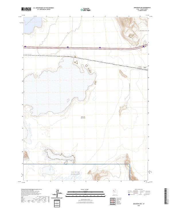
1973 Aragonite NW
Tooele County, UT

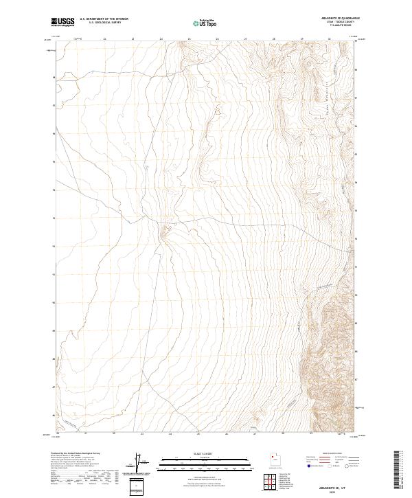
1973 Aragonite SE
Tooele County, UT
1973 Aragonite SW
Tooele County, UT
1973 Aragonite
Tooele County, UT
1973 Arinosa NE
Tooele County, UT
1973 Arinosa SE
Tooele County, UT
1973 Arinosa SW
Tooele County, UT
1973 Arinosa
Tooele County, UT
1973 Barro
Tooele County, UT

1973 Clifton
Tooele County, UT
1973 Delle
Tooele County, UT
1973 East of Gold Hill Wash
Tooele County, UT
1973 East of Goshute Wash
Tooele County, UT
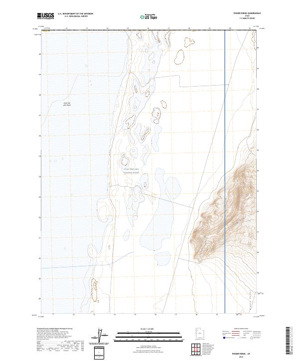
1973 Finger Ridge
Tooele County, UT
1973 Floating Island NE
Tooele County, UT
1973 Floating Island SE
Tooele County, UT
1973 Floating Island SW
Tooele County, UT
1973 Floating Island
Tooele County, UT
1973 Gold Hill
Tooele County, UT

1973 Gold Hill Wash
Tooele County, UT

1973 Goshute Wash
Tooele County, UT

1973 Granite Peak NW
Tooele County, UT
1973 Granite Peak SW
Tooele County, UT

1973 Grassy Mountains
Tooele County, UT
1973 Grayback Hills
Tooele County, UT
1973 Hastings Pass NE
Tooele County, UT

1973 Hastings Pass SE
Tooele County, UT
1973 Hastings Pass
Tooele County, UT

1973 Hickman Knolls
Tooele County, UT
1973 Ibapah
Tooele County, UT
1973 Knolls SE
Tooele County, UT
1973 Knolls SW
Tooele County, UT
1973 Knolls
Tooele County, UT
1973 Low
Tooele County, UT
1973 North of Barro
Tooele County, UT
1973 North of Gold Hill Wash
Tooele County, UT
1973 North of Knolls
Tooele County, UT
1973 Ochre Mountain
Tooele County, UT
1973 Puddle Valley Knolls
Tooele County, UT

1973 Quincy Spring
Tooele County, UT
1973 Ripple Valley
Tooele County, UT
1973 Salduro SE
Tooele County, UT
1973 Salduro SW
Tooele County, UT
1973 Salduro
Tooele County, UT

1973 Silsbee
Tooele County, UT
1973 South of Arinosa SE
Tooele County, UT
1973 South of Arinosa SW
Tooele County, UT
1973 South of Big Pass
Tooele County, UT
1973 South of Keller Well
Tooele County, UT
1973 West of Wildcat Mountain SW
Tooele County, UT
1973 Wildcat Mountain NW
Tooele County, UT
1973 Wildcat Mountain SW
Tooele County, UT

1979 Bonneville Salt Flats
Tooele County, UT

1979 Wildcat Mountain
Tooele County, UT

1980 Saint John
Tooele County, UT
1980 South Mountain
Tooele County, UT

1985 Deseret Peak East
Tooele County, UT

1985 Deseret Peak West
Tooele County, UT

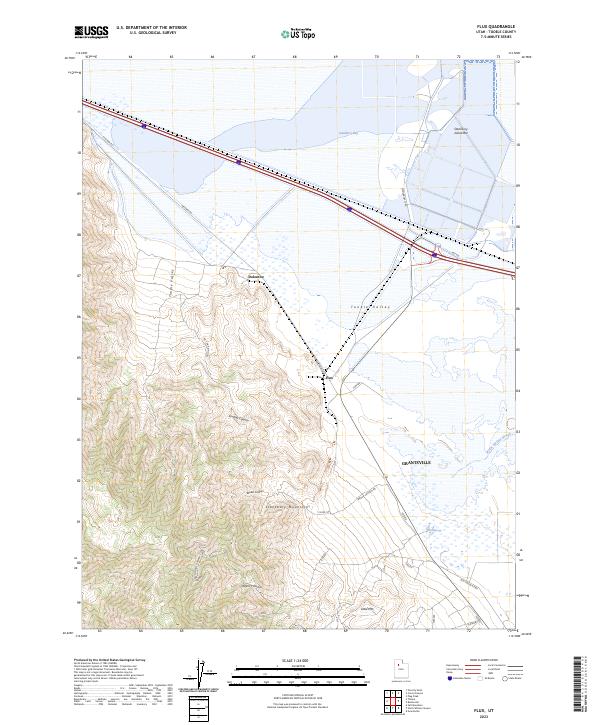
1985 Flux
Tooele County, UT

1985 Johnson Pass
Tooele County, UT
1985 North Willow Canyon
Tooele County, UT

1985 Salt Mountain
Tooele County, UT

1985 Terra
Tooele County, UT

1985 Timpie
Tooele County, UT

1991 Wildcat Mountain SE
Tooele County, UT

1993 Boulter Peak
Tooele County, UT

1993 Callao NE
Tooele County, UT

1993 Callao
Tooele County, UT
1993 Camels Back Ridge NE
Tooele County, UT
1993 Camels Back Ridge NW
Tooele County, UT

1993 Camels Back Ridge SW
Tooele County, UT
1993 Davis Knolls
Tooele County, UT
1993 Dugway Proving Ground NE
Tooele County, UT
1993 Dugway Proving Ground NW
Tooele County, UT
1993 Dugway Proving Ground SE
Tooele County, UT
1993 Dugway Proving Ground SW
Tooele County, UT

1993 Dugway Range NE
Tooele County, UT

1993 Dugway Range NW
Tooele County, UT
1993 East of Gold Hill Wash
Tooele County, UT
1993 East of Goshute Wash
Tooele County, UT

1993 Faust
Tooele County, UT

1993 Fish Springs NE
Tooele County, UT

1993 Fish Springs NW
Tooele County, UT

1993 Fivemile Pass
Tooele County, UT
1993 Gold Hill Wash
Tooele County, UT
1993 Goshute Wash
Tooele County, UT
1993 Granite Peak NW
Tooele County, UT
1993 Granite Peak SE
Tooele County, UT
1993 Granite Peak SW
Tooele County, UT
1993 Granite Peak
Tooele County, UT
1993 Hickman Knolls
Tooele County, UT

1993 Indian Peaks
Tooele County, UT

1993 Lofgreen
Tooele County, UT
1993 Lookout Pass
Tooele County, UT

1993 Lowe Peak
Tooele County, UT
1993 North of Gold Hill Wash
Tooele County, UT

1993 Onaqui Mts South
Tooele County, UT

1993 Saint John
Tooele County, UT
1993 Simpson Springs
Tooele County, UT

1993 South Mountain
Tooele County, UT
1993 South of Arinosa SE
Tooele County, UT

1993 Tabbys Peak SE
Tooele County, UT

1993 Tabbys Peak
Tooele County, UT
1993 Vernon NE
Tooele County, UT
1993 West of Wildcat Mountain SW
Tooele County, UT
1993 Wig Mountain
Tooele County, UT
1993 Wig Mtn NE
Tooele County, UT
1993 Wig Mtn NW
Tooele County, UT
1993 Wig Mtn SW
Tooele County, UT
1993 Wildcat Mountain NW
Tooele County, UT
1993 Wildcat Mountain SE
Tooele County, UT
1993 Wildcat Mountain SW
Tooele County, UT
1993 Wildcat Mountain
Tooele County, UT

1997 Bingham Canyon
Tooele County, UT

1997 Lowe Peak
Tooele County, UT
1998 Deseret Peak East
Tooele County, UT

1998 Deseret Peak West
Tooele County, UT

1998 Dutch Peak
Tooele County, UT

1998 Erickson Knoll
Tooele County, UT

1998 Indian Peaks
Tooele County, UT

1998 Indian Springs
Tooele County, UT
1998 Johnson Pass
Tooele County, UT

1998 Lofgreen
Tooele County, UT
1998 Lookout Pass
Tooele County, UT

1998 North Willow Canyon
Tooele County, UT

1998 Sabie Mountain
Tooele County, UT
1998 Salt Mountain
Tooele County, UT

1998 Terra
Tooele County, UT
2023 Aragonite NW
Tooele County, UT
2023 Aragonite SE
Tooele County, UT
2023 Aragonite SW
Tooele County, UT
2023 Aragonite
Tooele County, UT
2023 Arinosa NE
Tooele County, UT
2023 Arinosa SE
Tooele County, UT
2023 Arinosa SW
Tooele County, UT
2023 Arinosa
Tooele County, UT
2023 Badger Island NW
Tooele County, UT
2023 Badger Island
Tooele County, UT
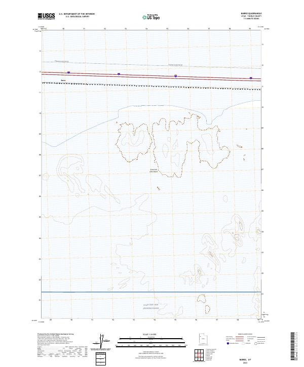
2023 Barro
Tooele County, UT
2023 Bingham Canyon
Tooele County, UT
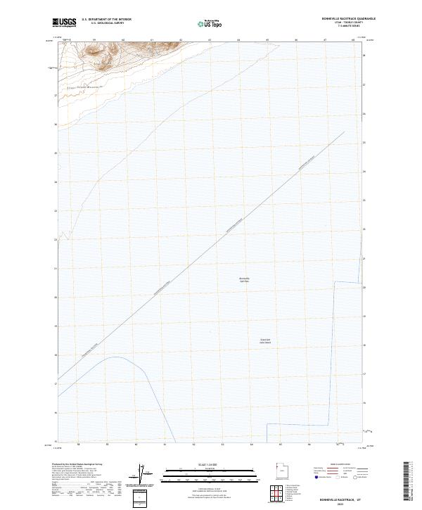
2023 Bonneville Racetrack
Tooele County, UT
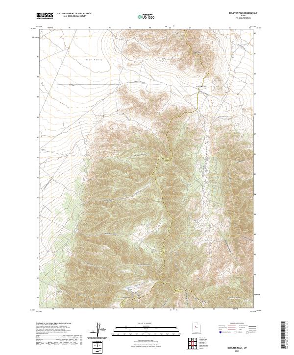
2023 Boulter Peak
Tooele County, UT
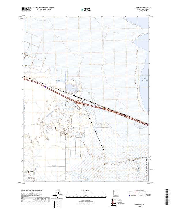
2023 Burmester
Tooele County, UT
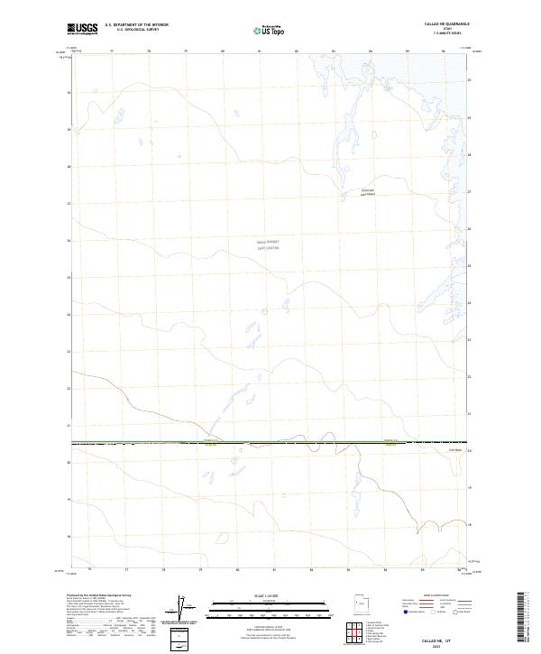
2023 Callao NE
Tooele County, UT
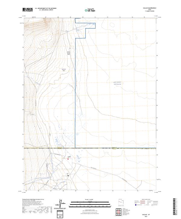
2023 Callao
Tooele County, UT
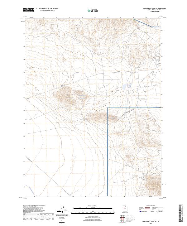
2023 Camels Back Ridge NE
Tooele County, UT
2023 Camels Back Ridge NW
Tooele County, UT
2023 Camels Back Ridge SW
Tooele County, UT
2023 Clifton
Tooele County, UT
2023 Corral Canyon
Tooele County, UT
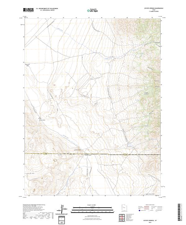
2023 Coyote Springs
Tooele County, UT
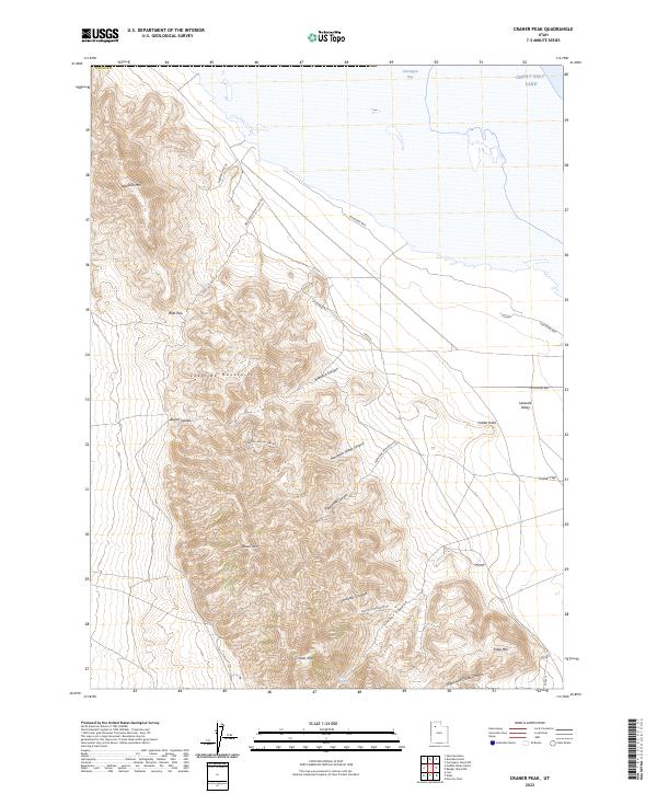
2023 Craner Peak
Tooele County, UT
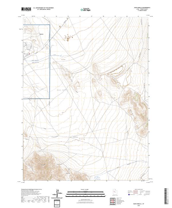
2023 Davis Knolls
Tooele County, UT
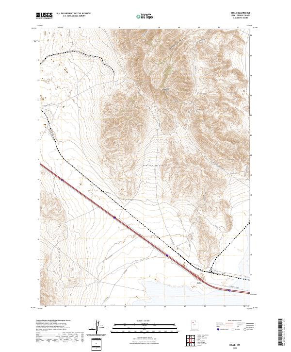
2023 Delle
Tooele County, UT
2023 Deseret Peak East
Tooele County, UT

2023 Deseret Peak West
Tooele County, UT
2023 Dugway Proving Ground NE
Tooele County, UT
2023 Dugway Proving Ground NW
Tooele County, UT
2023 Dugway Proving Ground SE
Tooele County, UT
2023 Dugway Proving Ground SW
Tooele County, UT
2023 Dugway Range NE
Tooele County, UT
2023 Dugway Range NW
Tooele County, UT
2023 Dutch Peak
Tooele County, UT
2023 East of Gold Hill Wash
Tooele County, UT
2023 East of Goshute Wash
Tooele County, UT
2023 Elephant Knoll NE
Tooele County, UT
2023 Elephant Knoll NW
Tooele County, UT
2023 Elephant Knoll SE
Tooele County, UT
2023 Elephant Knoll
Tooele County, UT
2023 Erickson Knoll
Tooele County, UT
2023 Faust
Tooele County, UT
2023 Finger Ridge
Tooele County, UT
2023 Fish Springs NE
Tooele County, UT
2023 Fish Springs NW
Tooele County, UT
2023 Fivemile Pass
Tooele County, UT
2023 Floating Island NE
Tooele County, UT
2023 Floating Island SE
Tooele County, UT
2023 Floating Island SW
Tooele County, UT
2023 Floating Island
Tooele County, UT
2023 Flux
Tooele County, UT
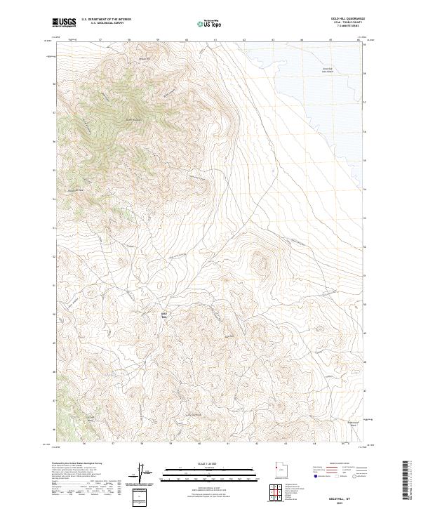
2023 Gold Hill
Tooele County, UT
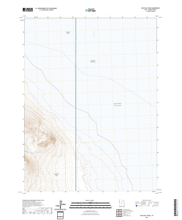
2023 Gold Hill Wash
Tooele County, UT
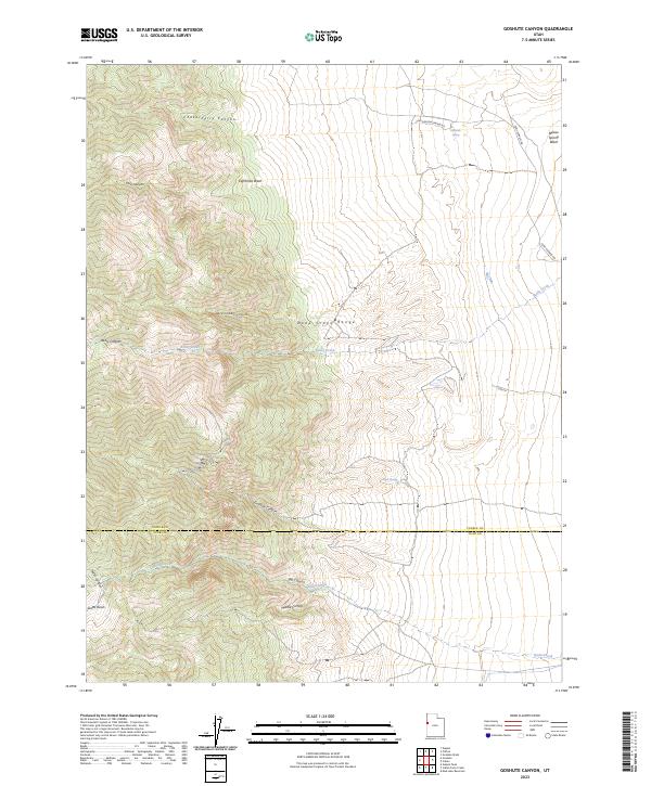
2023 Goshute Canyon
Tooele County, UT

2023 Goshute
Tooele County, UT
2023 Goshute Wash
Tooele County, UT
2023 Graham Peak
Tooele County, UT
2023 Granite Peak NW
Tooele County, UT
2023 Granite Peak SE
Tooele County, UT
2023 Granite Peak SW
Tooele County, UT
2023 Granite Peak
Tooele County, UT
2023 Grassy Mountains
Tooele County, UT
2023 Grayback Hills
Tooele County, UT
2023 Hastings Pass NE
Tooele County, UT
2023 Hastings Pass SE
Tooele County, UT
2023 Hastings Pass
Tooele County, UT
2023 Hickman Knolls
Tooele County, UT

2023 Ibapah
Tooele County, UT
2023 Indian Peaks
Tooele County, UT
2023 Indian Springs
Tooele County, UT
2023 Johnson Pass
Tooele County, UT
2023 Knolls SE
Tooele County, UT
2023 Knolls SW
Tooele County, UT
2023 Knolls
Tooele County, UT

2023 Lofgreen
Tooele County, UT
2023 Lookout Pass
Tooele County, UT
2023 Lowe Peak
Tooele County, UT
2023 Low
Tooele County, UT

2023 Mills Junction
Tooele County, UT
2023 North of Barro
Tooele County, UT
2023 North of Gold Hill Wash
Tooele County, UT
2023 North of Knolls
Tooele County, UT
2023 North Willow Canyon
Tooele County, UT
2023 Ochre Mountain
Tooele County, UT
2023 Onaqui Mountains South
Tooele County, UT
2023 Plug Peak NW
Tooele County, UT

2023 Plug Peak SE
Tooele County, UT
2023 Plug Peak
Tooele County, UT
2023 Poverty Point
Tooele County, UT
2023 Puddle Valley Knolls
Tooele County, UT
2023 Quincy Spring
Tooele County, UT
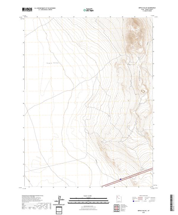
2023 Ripple Valley
Tooele County, UT
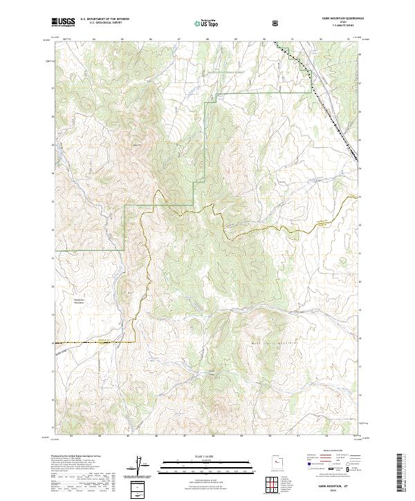
2023 Sabie Mountain
Tooele County, UT
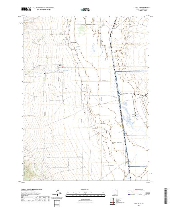
2023 Saint John
Tooele County, UT
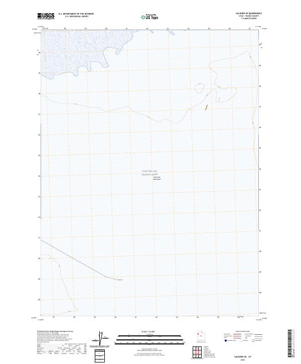
2023 Salduro SE
Tooele County, UT
2023 Salduro SW
Tooele County, UT
2023 Salduro
Tooele County, UT
2023 Salt Mountain
Tooele County, UT
2023 Silsbee
Tooele County, UT
2023 Silver Island Pass
Tooele County, UT
2023 Simpson Springs
Tooele County, UT
2023 South Mountain
Tooele County, UT
2023 South of Arinosa SE
Tooele County, UT
2023 South of Arinosa SW
Tooele County, UT
2023 South of Big Pass
Tooele County, UT
2023 South of Keller Well
Tooele County, UT
2023 Tabbys Peak SE
Tooele County, UT
2023 Tabbys Peak SW
Tooele County, UT
2023 Tabbys Peak
Tooele County, UT
2023 Table Mountain
Tooele County, UT

2023 Terra
Tooele County, UT
2023 Tetzlaff Peak
Tooele County, UT
2023 Timpie
Tooele County, UT
2023 Utah Peak
Tooele County, UT
2023 Vernon NE
Tooele County, UT
2023 West of Wildcat Mountain SW
Tooele County, UT
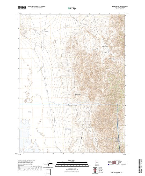
2023 Wig Mountain NE
Tooele County, UT
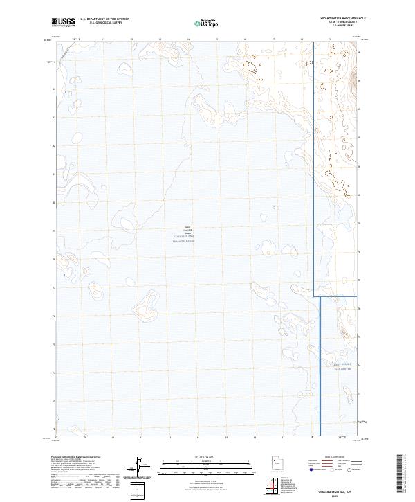
2023 Wig Mountain NW
Tooele County, UT
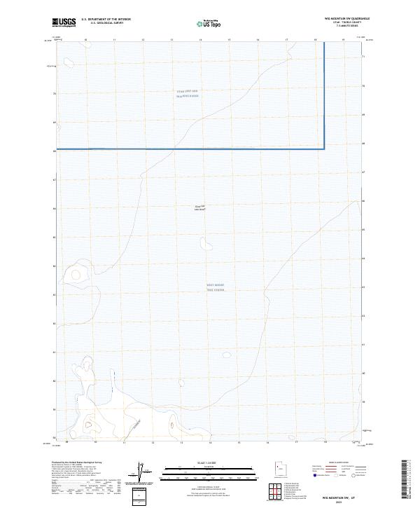
2023 Wig Mountain SW
Tooele County, UT
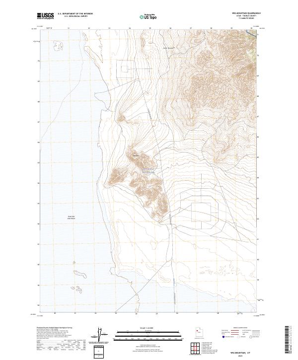
2023 Wig Mountain
Tooele County, UT
2023 Wildcat Mountain NW
Tooele County, UT
2023 Wildcat Mountain SE
Tooele County, UT
2023 Wildcat Mountain SW
Tooele County, UT
2023 Wildcat Mountain
Tooele County, UT