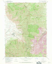
1952 Map of Bingham Canyon
USGS Topo · Published 1971About this map
The Oquirrh Mountains dominate this industrial and geological landscape, defined by the massive operations of the Copper Pit Mine. This survey captures the intensive extraction efforts in the mid-20th century, where the mountainside is transformed by a network of tunnels including the Bingham West Dip Tunnel, Apex Tunnel, and Highland Tunnel. The infrastructure of the era is evident in the heavy rail presence of the Bingham and Garfield and the Denver and Rio Grande Western railroads, which served the massive Smelter and associated Waste Dump facilities.
Find a feature on this map
48 named features on this map. Tap any name to fly to it.
Don’t see what you’re looking for? This feature index may not catch every label — zoom into the map to look around manually.
Map Details
Editions of this 1952 Bingham Canyon Map
5 editions found
Other maps of this area

1885 · Tooele Valley
USGS Topo · 1:250,000

1915 · Fairfield
USGS Topo · 1:62,500

1917 · Fairfield
USGS Topo · 1:62,500

1918 · Stockton
USGS Topo · 1:62,500

1952 · Magna
USGS Topo · 1:24,000

1952 · Bingham Canyon
USGS Topo · 1:24,000
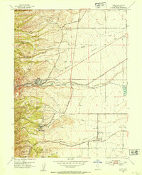
1952 · Lark
USGS Topo · 1:24,000

1952 · Garfield
USGS Topo · 1:24,000

1953 · Tooele
USGS Topo · 1:250,000
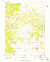
1954 · Tickville Spring
USGS Topo · 1:24,000