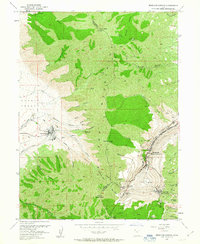
1952 Map of Bingham Canyon
USGS Topo · Published 1963About this map
The massive Copper Pit dominates this industrial landscape in the Oquirrh Mountains, revealing the intense mining operations of the early 1950s. The map captures the dense settlement patterns of mining communities such as Bingham and Copperfield (Upper Bingham), which are tucked into the narrow confines of Bingham Canyon. Nearby, Highland Boy sits amidst a network of underground infrastructure, including the Armstrong Tunnel and Apex Tunnel.
Find a feature on this map
54 named features on this map. Tap any name to fly to it.
Don’t see what you’re looking for? This feature index may not catch every label — zoom into the map to look around manually.
Map Details
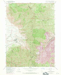
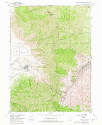
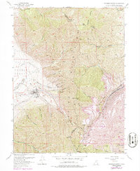
Editions of this 1952 Bingham Canyon Map
5 editions found
Other maps of this area

1885 · Tooele Valley
USGS Topo · 1:250,000

1915 · Fairfield
USGS Topo · 1:62,500

1917 · Fairfield
USGS Topo · 1:62,500

1918 · Stockton
USGS Topo · 1:62,500

1952 · Magna
USGS Topo · 1:24,000

1952 · Bingham Canyon
USGS Topo · 1:24,000
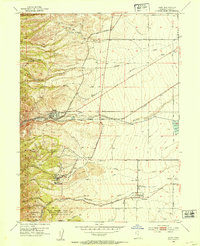
1952 · Lark
USGS Topo · 1:24,000

1952 · Garfield
USGS Topo · 1:24,000

1953 · Tooele
USGS Topo · 1:250,000
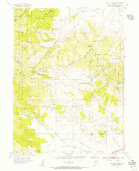
1954 · Tickville Spring
USGS Topo · 1:24,000