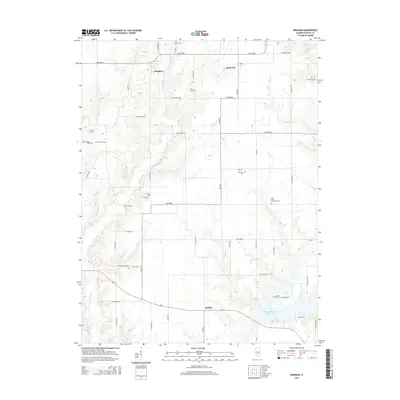
2015 Map of Bingham
USGS Topo · Published 2015About this map
Bingham and Bayle City anchor the northern reaches of this Fayette County landscape, where a dense network of family and community cemeteries reveals the deep genealogical roots of the region. The map shows an incredible concentration of burial sites, including the Holy Cross Lutheran Cem, Monclovia Cem, and Brackenbush Cem, scattered across a terrain defined by the winding paths of Hurricane Cr and Panther Cr. To the south, the settlement of Shafter sits near the northern fingers of the Vandalia Municipal Reservoir, which dominates the lower topography. This 2015 survey illustrates a rural Illinois environment where historical land divisions are still clearly marked by numbered roads like 2600 North and 2500 North, maintaining a grid-like structure even as the creeks create complex natural boundaries.
Find a feature on this map
41 named features on this map. Tap any name to fly to it.
Don’t see what you’re looking for? This feature index may not catch every label — zoom into the map to look around manually.
Map Details
Editions of this 2015 Bingham Map
This is the sole edition of this map. No revisions or reprints were ever made.
Other maps of this area

1932 · Greenville
USGS Topo · 1:62,500

1939 · Greenville
USGS Topo · 1:62,500

1943 · Greenville
USGS Topo · 1:62,500

1944 · Ramsey
USGS Topo · 1:62,500

1945 · Vandalia
USGS Topo · 1:62,500

1946 · Ramsey
USGS Topo · 1:62,500

1947 · Vandalia
USGS Topo · 1:62,500

1947 · Hillsboro
USGS Topo · 1:62,500

1949 · Hillsboro
USGS Topo · 1:62,500

1958 · Decatur
USGS Topo · 1:250,000