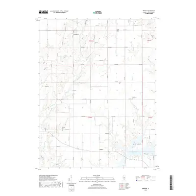
2018 Map of Bingham
USGS Topo · Published 2018About this map
Bingham and Bayle City anchor this section of northern Fayette County, where the landscape is defined by the headwaters of several southern-flowing streams. The terrain is deeply carved by drainage systems including Hurricane Cr, Panther Cr, and Bear Cr, which provide a network of natural boundaries between the grid of county roads. The southern portion of the map highlights the transition from agricultural land to public water resources, featuring the Vandalia Municipal Reservoir and Vandalia Lake. This area is particularly rich in family and community burial sites, many of which are situated on high ground overlooking the creek valleys. Notable locations for genealogical research include Isbell Cem, Brackenbush Cem, and Holy Cross Lutheran Cem. The presence of Shafter in the south illustrates the continued importance of small rural centers within this water-rich landscape of Illinois.
Find a feature on this map
76 named features on this map. Tap any name to fly to it.
Don’t see what you’re looking for? This feature index may not catch every label — zoom into the map to look around manually.
Map Details
Editions of this 2018 Bingham Map
This is the sole edition of this map. No revisions or reprints were ever made.
Other maps of this area

1932 · Greenville
USGS Topo · 1:62,500

1939 · Greenville
USGS Topo · 1:62,500

1943 · Greenville
USGS Topo · 1:62,500

1944 · Ramsey
USGS Topo · 1:62,500

1945 · Vandalia
USGS Topo · 1:62,500

1946 · Ramsey
USGS Topo · 1:62,500

1947 · Vandalia
USGS Topo · 1:62,500

1947 · Hillsboro
USGS Topo · 1:62,500

1949 · Hillsboro
USGS Topo · 1:62,500

1958 · Decatur
USGS Topo · 1:250,000