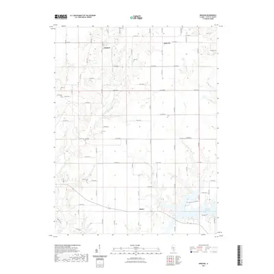
2021 Map of Bingham
USGS Topo · Published 2021About this map
Bingham and Bayle City anchor this rural landscape in northern Fayette County, where the terrain is deeply etched by a network of drainage systems. The northern reach is defined by the headwaters of Hurricane Cr and Liberty Cr, while the southeast corner is dominated by the Vandalia Municipal Reservoir. This 2021 survey shows a township-and-range grid system that persists through the modern era, with a high concentration of family and community burial grounds dotting the countryside. Genealogists will find a wealth of specific local history through these sites, including the Holy Cross Lutheran Cem, Monclovia Cem, and Pope Cem. The settlement of Shafter sits along the southern rail corridor, providing a clear view of the area's transition from agricultural hubs to contemporary reservoir management.
Find a feature on this map
73 named features on this map. Tap any name to fly to it.
Don’t see what you’re looking for? This feature index may not catch every label — zoom into the map to look around manually.
Map Details
Editions of this 2021 Bingham Map
This is the sole edition of this map. No revisions or reprints were ever made.
Other maps of this area

1932 · Greenville
USGS Topo · 1:62,500

1939 · Greenville
USGS Topo · 1:62,500

1943 · Greenville
USGS Topo · 1:62,500

1944 · Ramsey
USGS Topo · 1:62,500

1945 · Vandalia
USGS Topo · 1:62,500

1946 · Ramsey
USGS Topo · 1:62,500

1947 · Vandalia
USGS Topo · 1:62,500

1947 · Hillsboro
USGS Topo · 1:62,500

1949 · Hillsboro
USGS Topo · 1:62,500

1958 · Decatur
USGS Topo · 1:250,000