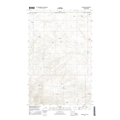
2017 Map of Bingham Lake
USGS Topo · Published 2017About this map
The Sweet Grass Hills dominate this high-plains landscape in Liberty County, where the northern border meets the international line with Canada. This 2017 survey details a terrain defined by dramatic relief and intermittent watercourses, anchored by the massive profiles of East Butte and Mt Lily. To the north, the small basin of Bingham Lake sits near the headwaters of Police Cr, while the southern reaches are carved by a dense network of coulees. The naming of features like Chicken Coulee, Scotch Coulee, and Big Coulee reflects a history of local geography tied to the cattle ranching and homesteading traditions of the Montana borderlands. Significant topographic markers such as Black Jack Butte and the Bears Den area provide distinct navigational points in an otherwise open range. Modern infrastructure is sparse, limited primarily to rural routes like Windy Ridge Rd and Bears Den Rd, showing the persistence of the traditional land use patterns in this remote region.
Find a feature on this map
32 named features on this map. Tap any name to fly to it.
Don’t see what you’re looking for? This feature index may not catch every label — zoom into the map to look around manually.
Map Details
Editions of this 2017 Bingham Lake Map
This is the sole edition of this map. No revisions or reprints were ever made.
Other maps of this area
1919 · Alma
USGS Topo · 1:125,000
1954 · Shelby
USGS Topo · 1:250,000
1958 · Shelby
USGS Topo · 1:250,000
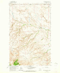
1962 · Bingham Lake
USGS Topo · 1:24,000
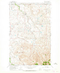
1962 · Hawley Hill
USGS Topo · 1:24,000
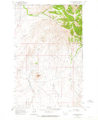
1962 · Haystack Butte
USGS Topo · 1:24,000
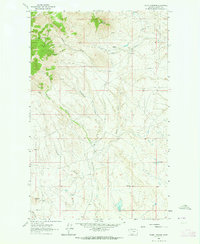
1962 · Mount Lebanon
USGS Topo · 1:24,000
1963 · Vaver Reservoir
USGS Topo · 1:24,000
1964 · Laird School
USGS Topo · 1:24,000
1984 · Chester
USGS Topo · 1:100,000