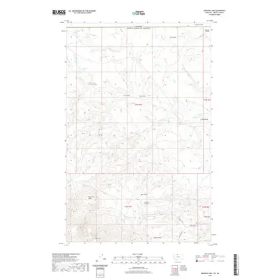
2020 Map of Bingham Lake
USGS Topo · Published 2020About this map
The northern edge of Liberty County meets the international border of Canada in this high-plains landscape. The terrain is defined by a dense network of coulees—steep-walled drainage valleys—that channel water toward several creeks. Police Cr and Baird Cr flow through the northern reaches near Bingham Lake, while the southern half is dominated by the prominent elevations of Black Jack Butte and East Butte. These landmarks serve as the primary topographic anchors for the region's ranching and livestock movement.
Find a feature on this map
30 named features on this map. Tap any name to fly to it.
Don’t see what you’re looking for? This feature index may not catch every label — zoom into the map to look around manually.
Map Details
Editions of this 2020 Bingham Lake Map
This is the sole edition of this map. No revisions or reprints were ever made.
Other maps of this area
1919 · Alma
USGS Topo · 1:125,000
1954 · Shelby
USGS Topo · 1:250,000
1958 · Shelby
USGS Topo · 1:250,000
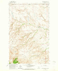
1962 · Bingham Lake
USGS Topo · 1:24,000
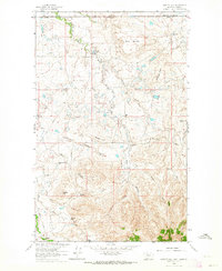
1962 · Hawley Hill
USGS Topo · 1:24,000
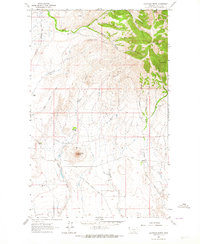
1962 · Haystack Butte
USGS Topo · 1:24,000
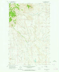
1962 · Mount Lebanon
USGS Topo · 1:24,000
1963 · Vaver Reservoir
USGS Topo · 1:24,000
1964 · Laird School
USGS Topo · 1:24,000
1984 · Chester
USGS Topo · 1:100,000