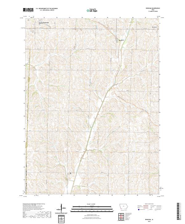
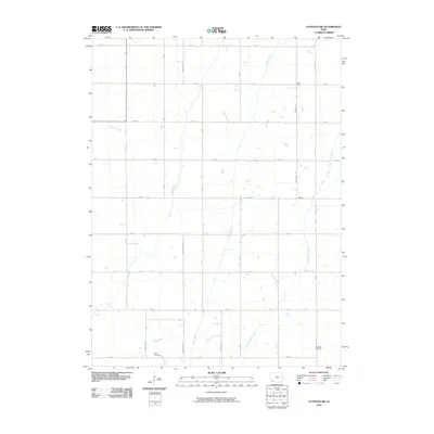
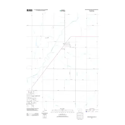
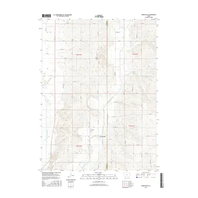
2022 Map of Bingham
USGS Topo · Published 2022About this map
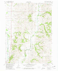
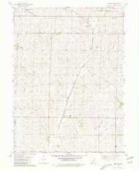
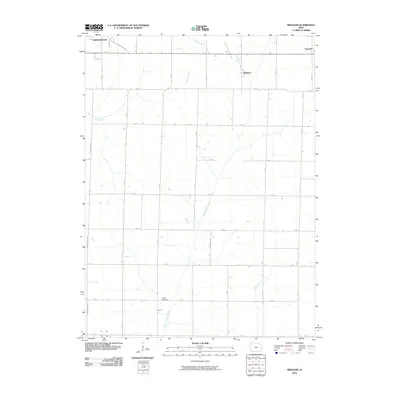
Agricultural lands along the Fremont Co Page Co border define this corner of Southwest Iowa. The map centers on the small unincorporated community of Bingham and the outlying village of Norwich, areas characterized by a dense grid of rural roads and fertile drainage basins. Significant waterways including W Tarkio Cr and Middle Tarkio Cr wind through the township, carving the low-lying relief that supports the region's farms.
Find a feature on this map
32 named features on this map. Tap any name to fly to it.
Don’t see what you’re looking for? This feature index may not catch every label — zoom into the map to look around manually.
Map Details
Editions of this 2022 Bingham Map
This is the sole edition of this map. No revisions or reprints were ever made.
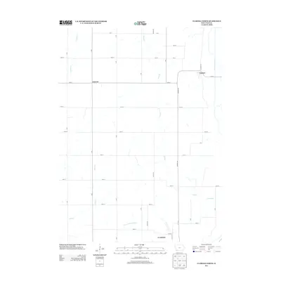
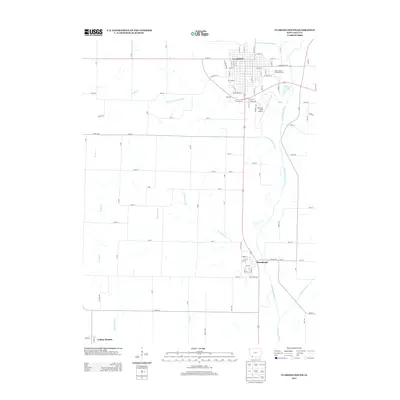
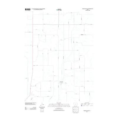
Historical Maps of Shenandoah Through Time
36 maps found
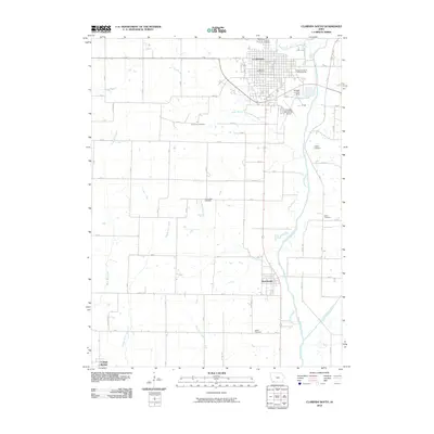
1978 Clarinda North
Page County, IA
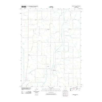
1978 Shenandoah East
Page County, IA
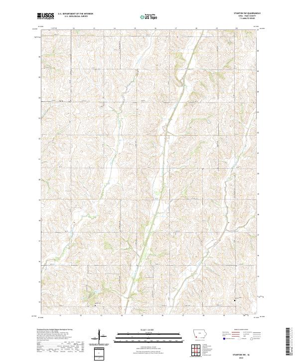
1978 Stanton SW
Page County, IA
1980 Hawleyville
Page County, IA
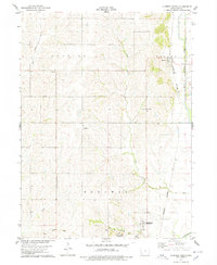
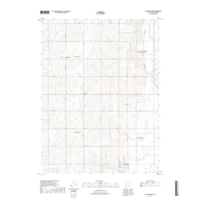
1981 Bingham
Page County, IA
1981 Clarinda South
Page County, IA
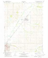
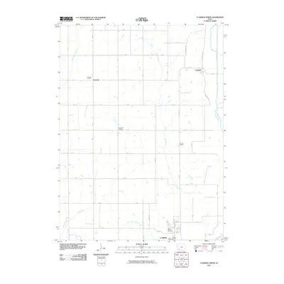
2010 Bingham
Page County, IA
2010 Clarinda North
Page County, IA
2010 Clarinda South
Page County, IA
2010 Hawleyville
Page County, IA
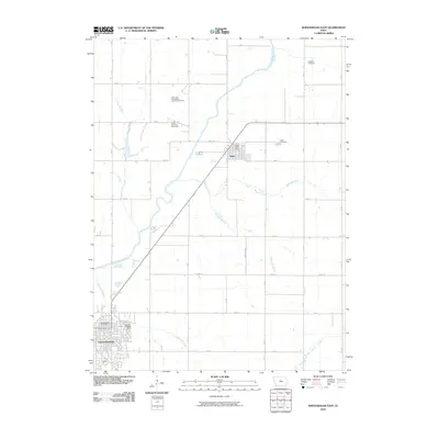
2010 Shenandoah East
Page County, IA
2010 Stanton SW
Page County, IA

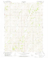
2013 Bingham
Page County, IA
2013 Clarinda North
Page County, IA
2013 Clarinda South
Page County, IA
2013 Hawleyville
Page County, IA
2013 Shenandoah East
Page County, IA
2013 Stanton SW
Page County, IA
2015 Bingham
Page County, IA
2015 Clarinda North
Page County, IA

2015 Clarinda South
Page County, IA
2015 Hawleyville
Page County, IA
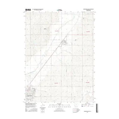
2015 Shenandoah East
Page County, IA
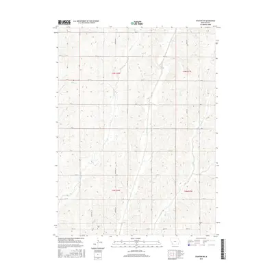
2015 Stanton SW
Page County, IA
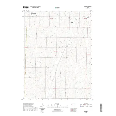
2018 Bingham
Page County, IA
2018 Clarinda North
Page County, IA
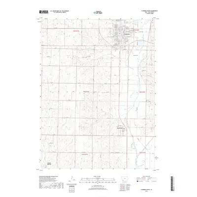
2018 Clarinda South
Page County, IA
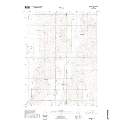
2018 Hawleyville
Page County, IA

2018 Shenandoah East
Page County, IA
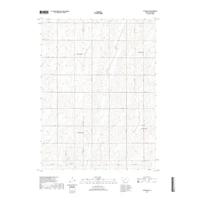
2018 Stanton SW
Page County, IA
2022 Bingham
Page County, IA
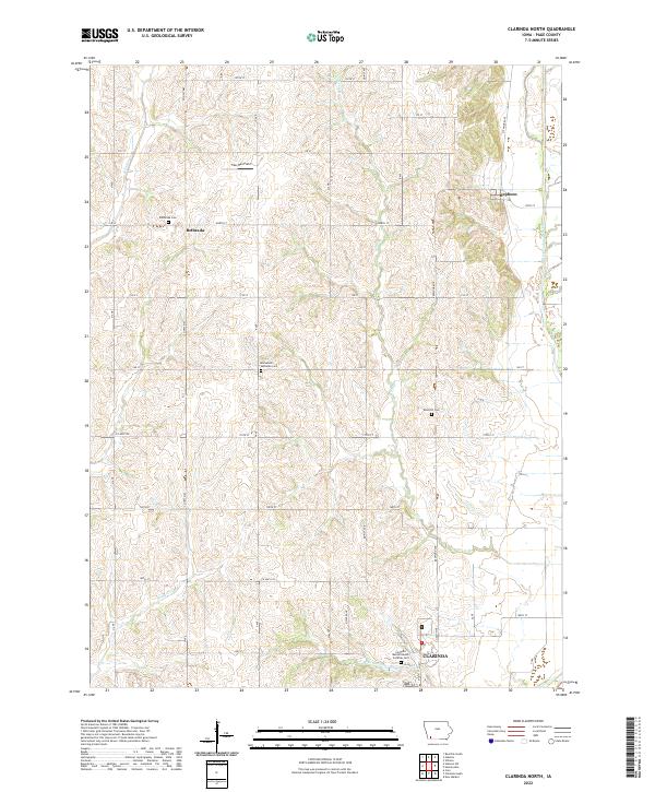
2022 Clarinda North
Page County, IA
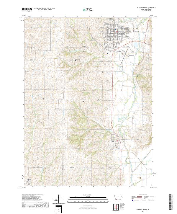
2022 Clarinda South
Page County, IA
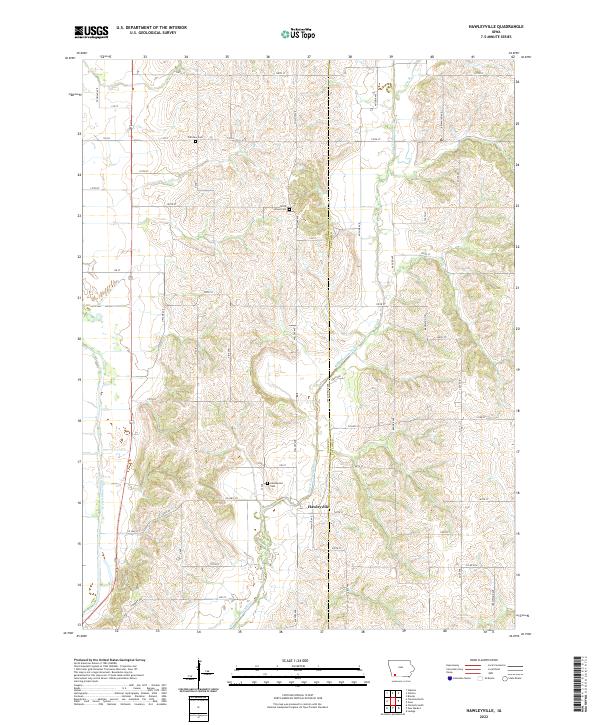
2022 Hawleyville
Page County, IA
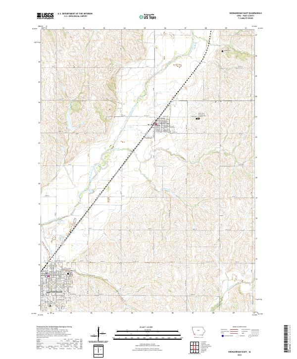
2022 Shenandoah East
Page County, IA
2022 Stanton SW
Page County, IA