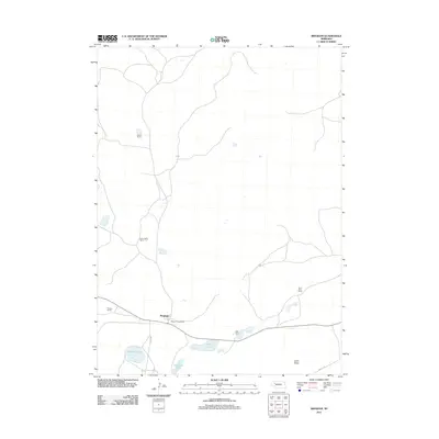
2011 Map of Bingham
USGS Topo · Published 2011About this map
The settlement of Bingham centers this remote corner of the Nebraska Sandhills, serving as a focal point for the surrounding cattle country. This 2011 survey illustrates a classic high-plains landscape defined by dispersed family ranching operations, such as Sellers Ranch, Edmondson Ranch, and Willy Ranch. The presence of the Bingham Post Office indicates the town's enduring role as a local service hub.
Find a feature on this map
13 named features on this map. Tap any name to fly to it.
Don’t see what you’re looking for? This feature index may not catch every label — zoom into the map to look around manually.
Map Details
Editions of this 2011 Bingham Map
This is the sole edition of this map. No revisions or reprints were ever made.
Other maps of this area

1948 · Ashby
USGS Topo · 1:62,500

1948 · Bingham
USGS Topo · 1:62,500

1948 · George Lake
USGS Topo · 1:62,500

1949 · Ashby
USGS Topo · 1:62,500

1950 · George Lake
USGS Topo · 1:62,500

1950 · Longfellow Lake
USGS Topo · 1:62,500

1950 · Bingham
USGS Topo · 1:62,500

1954 · Scottsbluff
USGS Topo · 1:250,000

1954 · North Platte
USGS Topo · 1:250,000

1955 · Alliance
USGS Topo · 1:250,000