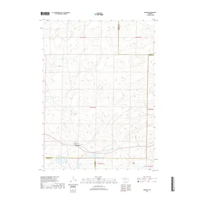
2017 Map of Bingham
USGS Topo · Published 2017About this map
Bingham serves as the primary settlement on this Nebraska Sandhills sheet, situated near the intersection of several county lines. The landscape is defined by its characteristic depressions and wetlands, with numerous water bodies like Finnegan Lake and McCarty Lake scattered across the undulating terrain. A complex network of local routes, including 109th Trl and Abbott Rd, provides access through the expansive ranching country where the borders of Sheridan, Cherry, Grant, and Garden counties meet. To the southeast, Larkin Valley and Willy Lake highlight the low-lying basins that are central to the region's geography. The map illustrates a sparse, pastoral pattern of development where small-scale infrastructure like Wilson Ave and Cover Dr connects isolated homesteads and water resources.
Find a feature on this map
22 named features on this map. Tap any name to fly to it.
Don’t see what you’re looking for? This feature index may not catch every label — zoom into the map to look around manually.
Map Details
Editions of this 2017 Bingham Map
This is the sole edition of this map. No revisions or reprints were ever made.
Other maps of this area
1948 · Ashby
USGS Topo · 1:62,500
1948 · Bingham
USGS Topo · 1:62,500
1948 · George Lake
USGS Topo · 1:62,500
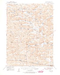
1949 · Ashby
USGS Topo · 1:62,500
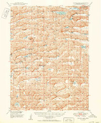
1950 · George Lake
USGS Topo · 1:62,500
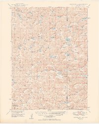
1950 · Longfellow Lake
USGS Topo · 1:62,500
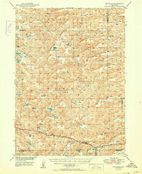
1950 · Bingham
USGS Topo · 1:62,500

1954 · Scottsbluff
USGS Topo · 1:250,000

1954 · North Platte
USGS Topo · 1:250,000

1955 · Alliance
USGS Topo · 1:250,000