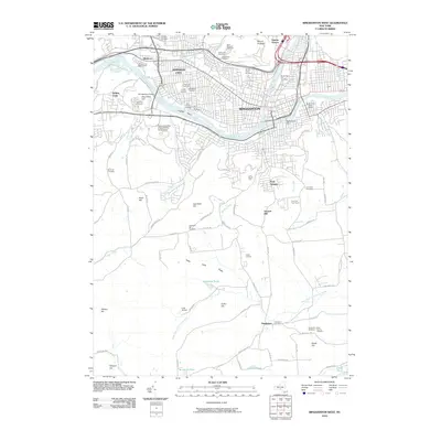
2010 Map of Binghamton West
USGS Topo · Published 2010About this map
The confluence of the Susquehanna River and Chenango River anchors this 2010 survey, illustrating the dense urban corridor of Binghamton and Johnson City. The landscape is a complex mix of industrial infrastructure and civic memory, evidenced by the numerous burial grounds such as Floral Park Cemetery, Slovak Cemetery, and Saint Patricks Cemetery. Near the center of the river channel, Crocker Island sits between the urban centers, while the Rockbottom Dam manages the flow downstream.
Find a feature on this map
98 named features on this map. Tap any name to fly to it.
Don’t see what you’re looking for? This feature index may not catch every label — zoom into the map to look around manually.
Map Details
Editions of this 2010 Binghamton West Map
This is the sole edition of this map. No revisions or reprints were ever made.
Other maps of this area

1901 · Apalachin
USGS Topo · 1:62,500

1904 · Binghamton
USGS Topo · 1:62,500

1904 · Apalachin
USGS Topo · 1:62,500

1906 · Catatonk
USGS Topo · 1:125,000

1934 · Castle Creek
USGS Topo · 1:24,000

1935 · Binghamton West
USGS Topo · 1:24,000

1935 · Chenango Forks
USGS Topo · 1:24,000

1937 · Binghamton East
USGS Topo · 1:24,000

1942 · Binghamton West
USGS Topo · 1:31,680

1942 · Castle Creek
USGS Topo · 1:31,680