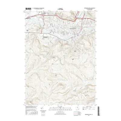
2016 Map of Binghamton West
USGS Topo · Published 2016About this map
Binghamton and its western neighbors, Johnson City and Endwell, dominate the northern portion of this map, where the Chenango River joins the Susquehanna River. The landscape transitions from the urbanized river valley to the southern uplands, where the expansive campus of Binghamton University SUNY at Binghamton sits atop rising terrain near Bunn Hill. This area is particularly detailed with local history markers, including a dense concentration of burial grounds such as Spring Forest Cem and Floral Park Cem.
Find a feature on this map
67 named features on this map. Tap any name to fly to it.
Don’t see what you’re looking for? This feature index may not catch every label — zoom into the map to look around manually.
Map Details
Editions of this 2016 Binghamton West Map
This is the sole edition of this map. No revisions or reprints were ever made.
Other maps of this area

1901 · Apalachin
USGS Topo · 1:62,500

1904 · Binghamton
USGS Topo · 1:62,500

1904 · Apalachin
USGS Topo · 1:62,500

1906 · Catatonk
USGS Topo · 1:125,000

1934 · Castle Creek
USGS Topo · 1:24,000

1935 · Binghamton West
USGS Topo · 1:24,000

1935 · Chenango Forks
USGS Topo · 1:24,000

1937 · Binghamton East
USGS Topo · 1:24,000

1942 · Binghamton West
USGS Topo · 1:31,680

1942 · Castle Creek
USGS Topo · 1:31,680