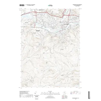
2019 Map of Binghamton West
USGS Topo · Published 2019About this map
The confluence of the Susquehanna River and the Chenango River anchors this detailed study of the triple-cities region, showing the intense urban and suburban density of Binghamton and Johnson City contrasted with the rising elevations of the southern hills. The landscape is heavily marked by local heritage sites, including numerous historic burial grounds such as Saint Michaels Cem, Floral Park Cem, and the Saint Marys Russian Orthodox Cem.
Find a feature on this map
75 named features on this map. Tap any name to fly to it.
Don’t see what you’re looking for? This feature index may not catch every label — zoom into the map to look around manually.
Map Details
Editions of this 2019 Binghamton West Map
This is the sole edition of this map. No revisions or reprints were ever made.
Other maps of this area

1901 · Apalachin
USGS Topo · 1:62,500

1904 · Binghamton
USGS Topo · 1:62,500

1904 · Apalachin
USGS Topo · 1:62,500

1906 · Catatonk
USGS Topo · 1:125,000

1934 · Castle Creek
USGS Topo · 1:24,000

1935 · Binghamton West
USGS Topo · 1:24,000

1935 · Chenango Forks
USGS Topo · 1:24,000

1937 · Binghamton East
USGS Topo · 1:24,000

1942 · Binghamton West
USGS Topo · 1:31,680

1942 · Castle Creek
USGS Topo · 1:31,680