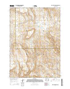
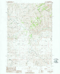
2014 Map of Birch Creek Meadow
USGS Topo · Published 2014About this map
The high desert landscape of Malheur County and Baker County is defined by a network of seasonal drainages and essential water sources for ranching and wildlife. The geography is centered on Birch Creek Meadow, a significant low-lying area surrounded by a series of gulches and draws. Water management is evident through the presence of the Kivett Reservoir Number 1, Kivett Reservoir Number 2, and Kivett Reservoir Number 3, which capture runoff from Birch Cr.
Find a feature on this map
31 named features on this map. Tap any name to fly to it.
Don’t see what you’re looking for? This feature index may not catch every label — zoom into the map to look around manually.
Map Details
Editions of this 2014 Birch Creek Meadow Map
This is the sole edition of this map. No revisions or reprints were ever made.
Other maps of this area
1950 · Jamieson
USGS Topo · 1:62,500
1951 · Huntington
USGS Topo · 1:62,500

1955 · Baker
USGS Topo · 1:250,000

1959 · Baker
USGS Topo · 1:250,000
1964 · Bridgeport
USGS Topo · 1:62,500
1964 · Brogan
USGS Topo · 1:62,500
1980 · Brogan
USGS Topo · 1:100,000
1988 · Birch Creek Meadow
USGS Topo · 1:24,000
1988 · Mc Carthy Ridge
USGS Topo · 1:24,000
1988 · Rye Valley
USGS Topo · 1:24,000