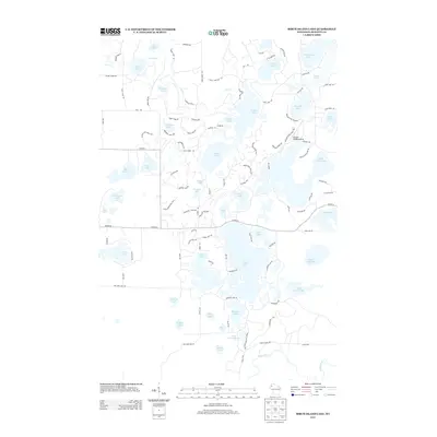
2013 Map of Birch Island Lake
USGS Topo · Published 2013About this map
Sand Lake and its surrounding wetlands form the center of this Burnett County landscape, characterized by a dense concentration of glacial lakes and modern recreational infrastructure. The map documents the intricate residential and access road network serving the waterfronts of Birch Island Lake, Des Moines Lake, and Hanscom Lake. A notable landmark for regional travel is the Voyager Village Airstrip, located near Fish Lake.
Find a feature on this map
113 named features on this map. Tap any name to fly to it.
Don’t see what you’re looking for? This feature index may not catch every label — zoom into the map to look around manually.
Map Details
Editions of this 2013 Birch Island Lake Map
This is the sole edition of this map. No revisions or reprints were ever made.
Other maps of this area
1949 · Danbury
USGS Topo · 1:48,000
1949 · Hertel
USGS Topo · 1:48,000
1949 · Webb Lake
USGS Topo · 1:48,000
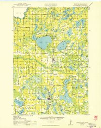
1950 · Webster
USGS Topo · 1:48,000

1953 · Duluth
USGS Topo · 1:250,000

1953 · Stillwater
USGS Topo · 1:250,000
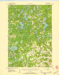
1955 · Hertel
USGS Topo · 1:62,500
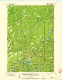
1955 · Webb Lake
USGS Topo · 1:62,500
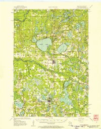
1955 · Webster
USGS Topo · 1:62,500

1955 · Stillwater
USGS Topo · 1:250,000