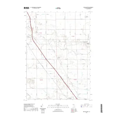
2019 Map of Birch Run North
USGS Topo · Published 2019About this map
Frankenmuth and the surrounding agricultural landscape of Saginaw County are defined by a dense network of drains and family heritage sites. The Cass River winds through the northern portion of the map, accompanied by the Cass River Nature Trail, while the southern reaches are marked by the confluence of the Flint River and several smaller tributaries like Fine Run. This 2019 survey reveals a rural landscape deeply connected to its early settlers, preserved through numerous burial grounds including the Campau Family Cem, Pierce Cem, and the prominent Saint Lorenz's Evangelical Lutheran Cem.
Find a feature on this map
84 named features on this map. Tap any name to fly to it.
Don’t see what you’re looking for? This feature index may not catch every label — zoom into the map to look around manually.
Map Details
Editions of this 2019 Birch Run North Map
This is the sole edition of this map. No revisions or reprints were ever made.
Other maps of this area

1919 · Saginaw
USGS Topo · 1:62,500

1919 · Burt
USGS Topo · 1:62,500

1920 · Flint
USGS Topo · 1:62,500

1921 · Burt
USGS Topo · 1:62,500

1922 · Flint
USGS Topo · 1:62,500

1941 · Saginaw
USGS Topo · 1:62,500

1943 · Burt
USGS Topo · 1:62,500

1943 · Saginaw
USGS Topo · 1:62,500

1943 · Flint
USGS Topo · 1:62,500

1954 · Flint
USGS Topo · 1:250,000
Featured Places
- City of Frankenmuth, MI
- Birch Run, MI
- Bridgeport Charter Township, MI
- Taymouth Township, MI
- Birch Run Township, MI