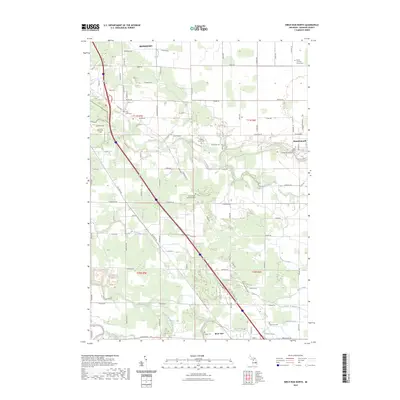
2023 Map of Birch Run North
USGS Topo · Published 2023About this map
The Cass River and Flint River watersheds define this Saginaw County landscape, where the agricultural flats are intricately carved by an extensive network of drainage systems. This modern survey shows the suburban expansion around Frankenmuth and the southern edge of Bridgeport, alongside the village of Birch Run. The map is particularly useful for local historians, as it documents several long-standing burial grounds, including the Campau Family Cem, Pine Grove Cem, and Saint Lorenz's Evangelical Lutheran Cem.
Find a feature on this map
88 named features on this map. Tap any name to fly to it.
Don’t see what you’re looking for? This feature index may not catch every label — zoom into the map to look around manually.
Map Details
Editions of this 2023 Birch Run North Map
This is the sole edition of this map. No revisions or reprints were ever made.
Other maps of this area

1919 · Saginaw
USGS Topo · 1:62,500

1919 · Burt
USGS Topo · 1:62,500

1920 · Flint
USGS Topo · 1:62,500

1921 · Burt
USGS Topo · 1:62,500

1922 · Flint
USGS Topo · 1:62,500

1941 · Saginaw
USGS Topo · 1:62,500

1943 · Burt
USGS Topo · 1:62,500

1943 · Saginaw
USGS Topo · 1:62,500

1943 · Flint
USGS Topo · 1:62,500

1954 · Flint
USGS Topo · 1:250,000
Featured Places
- City of Frankenmuth, MI
- Birch Run, MI
- Frankenmuth Township, MI
- Bridgeport Charter Township, MI
- Taymouth Township, MI