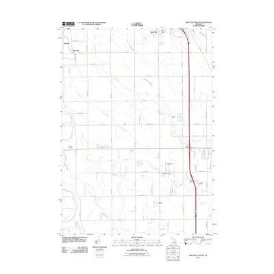
2011 Map of Birch Run South
USGS Topo · Published 2011About this map
Taymouth and the riverfront settlement of Morseville occupy the northwestern corner of this landscape, where the Flint River meanders through Saginaw County. The terrain is defined by a dense network of agricultural drainage and small waterways, including Pitch Creek, Pine Run, and Brent Run, which dictate the placement of rural roads and homesteads. Further east, the Birch Run vicinity shows the influence of modern transportation corridors, with the Birch Run Post Office and commercial development near the interchange.
Find a feature on this map
66 named features on this map. Tap any name to fly to it.
Don’t see what you’re looking for? This feature index may not catch every label — zoom into the map to look around manually.
Map Details
Editions of this 2011 Birch Run South Map
This is the sole edition of this map. No revisions or reprints were ever made.
Other maps of this area

1919 · Saginaw
USGS Topo · 1:62,500

1919 · Burt
USGS Topo · 1:62,500

1920 · Flint
USGS Topo · 1:62,500

1921 · Burt
USGS Topo · 1:62,500

1922 · Flint
USGS Topo · 1:62,500

1941 · Saginaw
USGS Topo · 1:62,500

1943 · Burt
USGS Topo · 1:62,500

1943 · Saginaw
USGS Topo · 1:62,500

1943 · Flint
USGS Topo · 1:62,500

1954 · Flint
USGS Topo · 1:250,000