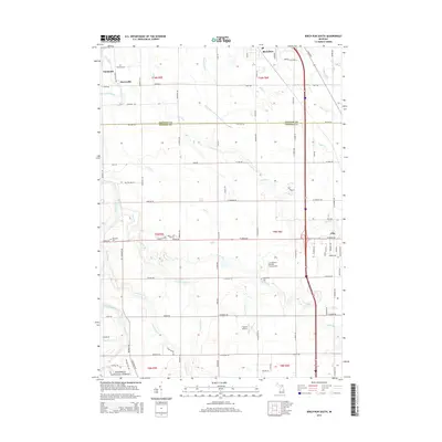
2014 Map of Birch Run South
USGS Topo · Published 2014About this map
The Flint River winds through the northwestern corner of this landscape, marking a terrain defined by an intricate network of agricultural drainage and creek systems. Small settlements like Taymouth and Morseville sit among a grid of section-line roads, while the southern boundary includes the edge of Clio. This 2014 survey reveals a mix of rural infrastructure and aviation, including Crompton's Private Strip Airport and Cagney Airport. Genealogy researchers will find the Montrose Cem and W Vienna Cem clearly marked along the township borders. The map also shows the northernmost reach of the Manistee National Forest in the southwest. Transport patterns are dominated by the Dixie Hwy and Interstate 75 corridors, which bisect the eastern portion of the quadrangle near Birch Run, connecting the agricultural lands of Saginaw Co and Genesee Co.
Find a feature on this map
85 named features on this map. Tap any name to fly to it.
Don’t see what you’re looking for? This feature index may not catch every label — zoom into the map to look around manually.
Map Details
Editions of this 2014 Birch Run South Map
This is the sole edition of this map. No revisions or reprints were ever made.
Other maps of this area

1919 · Saginaw
USGS Topo · 1:62,500

1919 · Burt
USGS Topo · 1:62,500

1920 · Flint
USGS Topo · 1:62,500

1921 · Burt
USGS Topo · 1:62,500

1922 · Flint
USGS Topo · 1:62,500

1941 · Saginaw
USGS Topo · 1:62,500

1943 · Burt
USGS Topo · 1:62,500

1943 · Saginaw
USGS Topo · 1:62,500

1943 · Flint
USGS Topo · 1:62,500

1954 · Flint
USGS Topo · 1:250,000