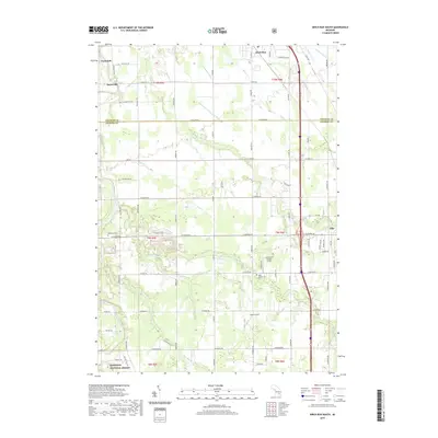
2019 Map of Birch Run South
USGS Topo · Published 2019About this map
Taymouth and Morseville sit along the winding Flint River in this 2019 survey of the Saginaw and Genesee county line. The landscape is a detailed network of agricultural drainage systems including the Alexander Drain, Hutchinson and Young Drain, and Franklin Drain, illustrating the managed water levels necessary for local farming. Towards the southeast, the growing settlement of Clio and the commerce-heavy corridor of Birch Run are prominently featured, linked by the north-south transit of Dixie Hwy. Local history and genealogy are anchored by landmarks such as Montrose Cem and West Vienna Cem, while aviation interests are represented by Alkay Airport and the distinctively marked Crompton's Private Strip. The southern boundary touches the northern reaches of the Manistee National Forest, providing a sharp contrast to the surrounding township road grids.
Find a feature on this map
78 named features on this map. Tap any name to fly to it.
Don’t see what you’re looking for? This feature index may not catch every label — zoom into the map to look around manually.
Map Details
Editions of this 2019 Birch Run South Map
This is the sole edition of this map. No revisions or reprints were ever made.
Other maps of this area

1919 · Saginaw
USGS Topo · 1:62,500

1919 · Burt
USGS Topo · 1:62,500

1920 · Flint
USGS Topo · 1:62,500

1921 · Burt
USGS Topo · 1:62,500

1922 · Flint
USGS Topo · 1:62,500

1941 · Saginaw
USGS Topo · 1:62,500

1943 · Burt
USGS Topo · 1:62,500

1943 · Saginaw
USGS Topo · 1:62,500

1943 · Flint
USGS Topo · 1:62,500

1954 · Flint
USGS Topo · 1:250,000