Loading...
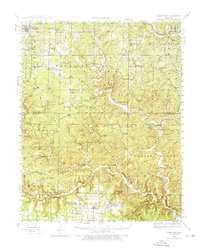
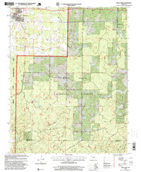
Loading map...1944 Map of Birch Tree
USGS Topo · Published 1976About this map
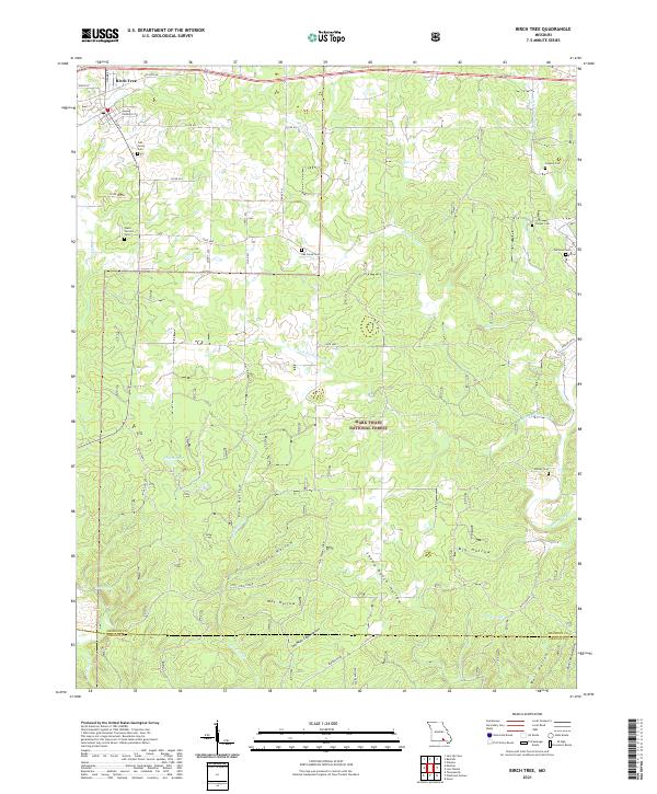
The St Louis San Francisco Ry corridor anchors the northern reach of this landscape, connecting the town of Birch Tree to the surrounding Ozark woodlands. The 1940s terrain is marked by a dense network of country schools and churches, including the Blackjack Sch and Oak Grove Ch, which served the rural communities of Bartlett and Winona townships. The southern portion of the sheet is dominated by the winding course of the Eleven Point River, where features like Greer Spring and the Blue Hole emerge from the karst topography.
Find a feature on this map
67 named features on this map. Tap any name to fly to it.
Don’t see what you’re looking for? This feature index may not catch every label — zoom into the map to look around manually.
Map Details
Date Portrayed1944
Date Published1976
PublisherU.S. Geological Survey
Map TypeTopographic
Scale1:62,500
Physical Dimensions17.6 x 21.9 inches
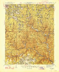
Editions of this 1944 Birch Tree Map
2 editions found
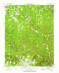
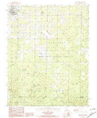
Historical Maps of Winona Through Time
8 maps found
Featured Locations
Source Details
SourceU.S. Geological Survey
CopyrightPublic Domain