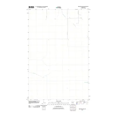
2010 Map of Birchdale SW
USGS Topo · Published 2010About this map
McCloud Creek winds through the northern portion of this northern Minnesota landscape, where the drainage patterns of Koochiching County reveal a terrain defined by subtle elevation changes and extensive wetlands. In the southern reaches, the Wing River flows westward, while the secluded Lost Lake sits near the eastern boundary, illustrating the water-rich geography characteristic of the region.
Find a feature on this map
8 named features on this map. Tap any name to fly to it.
Don’t see what you’re looking for? This feature index may not catch every label — zoom into the map to look around manually.
Map Details
Editions of this 2010 Birchdale SW Map
This is the sole edition of this map. No revisions or reprints were ever made.
Other maps of this area
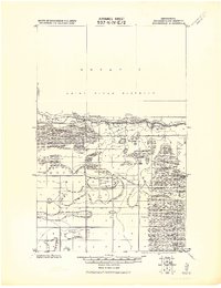
1919 · Birchdale
USGS Topo · 1:62,500
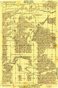
1919 · I
USGS Topo · 1:62,500

1954 · Roseau
USGS Topo · 1:250,000

1957 · Roseau
USGS Topo · 1:250,000

1958 · Roseau
USGS Topo · 1:250,000
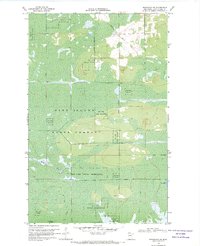
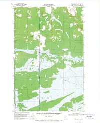
1968 · Birchdale SW
USGS Topo · 1:24,000
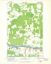
1968 · Birchdale SE
USGS Topo · 1:24,000
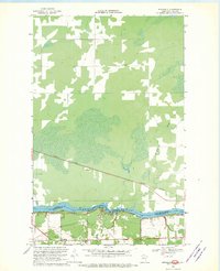
1968 · Stratton
USGS Topo · 1:24,000
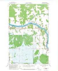
1968 · Birchdale
USGS Topo · 1:24,000
1968 · Border
USGS Topo · 1:24,000