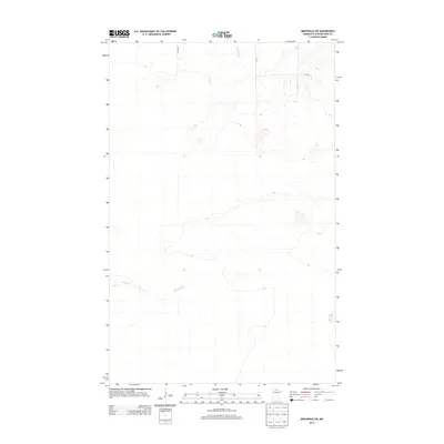
2013 Map of Birchdale SW
USGS Topo · Published 2013About this map
Wing River snakes through the southern reaches of this Koochiching County landscape, defining the local drainage alongside McCloud Cr in the north. This 2013 survey depicts a quiet, undeveloped portion of the northern Minnesota wilderness, where the terrain is marked primarily by small water bodies like Lost Lake and a sparse network of unpaved access roads. The transit through this area is managed via State Rd and several utility tracks, including Ut 116, Ut 393, and Ut 114. The map illustrates a region where the natural hydrography and elevation contours dictate the movement across the land, highlighting the isolation and preservation of the native bog and forest environment in the early 21st century.
Find a feature on this map
7 named features on this map. Tap any name to fly to it.
Don’t see what you’re looking for? This feature index may not catch every label — zoom into the map to look around manually.
Map Details
Editions of this 2013 Birchdale SW Map
This is the sole edition of this map. No revisions or reprints were ever made.
Other maps of this area
1919 · Birchdale
USGS Topo · 1:62,500
1919 · I
USGS Topo · 1:62,500

1954 · Roseau
USGS Topo · 1:250,000

1957 · Roseau
USGS Topo · 1:250,000

1958 · Roseau
USGS Topo · 1:250,000
1968 · Birchdale SW
USGS Topo · 1:24,000
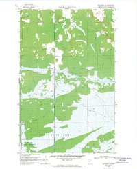
1968 · Birchdale SE
USGS Topo · 1:24,000
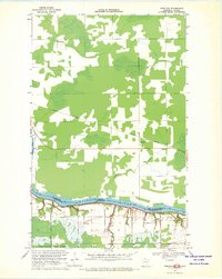
1968 · Stratton
USGS Topo · 1:24,000
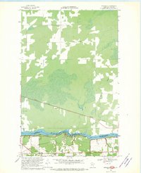
1968 · Birchdale
USGS Topo · 1:24,000
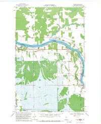
1968 · Border
USGS Topo · 1:24,000