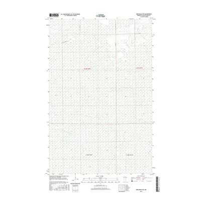
2016 Map of Birchdale SW
USGS Topo · Published 2016About this map
The Willis River winds through the southern reaches of this Koochiching County landscape, defining the hydrology of a region dominated by extensive wetlands and seasonal watercourses. This 2016 survey illustrates the remote character of Northern Minnesota, where human infrastructure is largely confined to a grid of rural routes such as State Rd and Frontier Farmers Rd. The drainage patterns are further marked by McCloud Cr in the northeast and the isolated Lost Lake near the eastern boundary. The Public Land Survey System lines for t159n r28w and surrounding townships provide the primary framework for this territory, reflecting a landscape where large-scale resource management and conservation are more prominent than dense residential settlement.
Find a feature on this map
12 named features on this map. Tap any name to fly to it.
Don’t see what you’re looking for? This feature index may not catch every label — zoom into the map to look around manually.
Map Details
Editions of this 2016 Birchdale SW Map
This is the sole edition of this map. No revisions or reprints were ever made.
Other maps of this area
1919 · Birchdale
USGS Topo · 1:62,500
1919 · I
USGS Topo · 1:62,500

1954 · Roseau
USGS Topo · 1:250,000

1957 · Roseau
USGS Topo · 1:250,000

1958 · Roseau
USGS Topo · 1:250,000
1968 · Birchdale SW
USGS Topo · 1:24,000
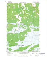
1968 · Birchdale SE
USGS Topo · 1:24,000
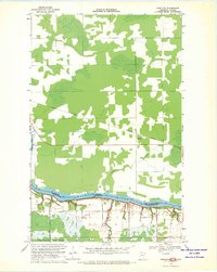
1968 · Stratton
USGS Topo · 1:24,000
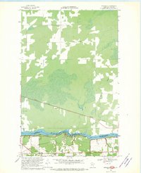
1968 · Birchdale
USGS Topo · 1:24,000
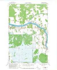
1968 · Border
USGS Topo · 1:24,000